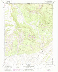
1963 Map of Purgatory Canyon
USGS Topo · Published 1986About this map
Mokie Indian Ruin sits atop the high ground north of Barker Arroyo, anchoring a landscape defined by deep drainages and industrial expansion. This 1963 survey, updated with 1970s revisions, illustrates the extensive development of energy resources across the Ute Mountain Indian Reservation. The southern portion of the map is dominated by the Verde Oil Field, while the northern reaches are occupied by the Barker Creek Gas Field, connected by a network of pipelines and service roads.
Find a feature on this map
43 named features on this map. Tap any name to fly to it.
Don’t see what you’re looking for? This feature index may not catch every label — zoom into the map to look around manually.
Map Details
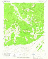
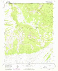
Editions of this 1963 Purgatory Canyon Map
3 editions found
Other maps of this area

1889 · Chaco
USGS Topo · 1:250,000

1892 · Chaco
USGS Topo · 1:250,000

1912 · Soda Canyon
USGS Topo · 1:62,500

1913 · Red Mesa
USGS Topo · 1:62,500

1915 · Soda Canyon
USGS Topo · 1:62,500

1954 · Shiprock
USGS Topo · 1:250,000

1956 · Cortez
USGS Topo · 1:250,000

1958 · Cortez
USGS Topo · 1:250,000

1958 · Shiprock
USGS Topo · 1:250,000

1959 · Shiprock
USGS Topo · 1:250,000