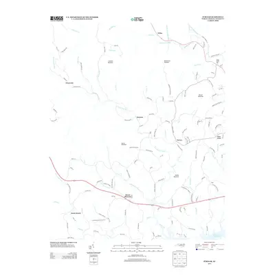
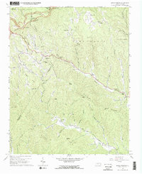
2013 Map of Purlear
USGS Topo · Published 2013About this map
Mount Pleasant and the unincorporated community of Purlear anchor this Wilkes County landscape, where the Blue Ridge foothills transition into the upper Yadkin River valley. The geography is defined by a dense network of tributaries including the S Fork Reddies River and the N Prong Lewis Fork, which flow southward toward the W Kerr Scott Reservoir. Significant elevations like Rendezvous Mountain and Hoover Mountain overlook the various hollows and ridges that have shaped local settlement patterns for generations.
Find a feature on this map
126 named features on this map. Tap any name to fly to it.
Don’t see what you’re looking for? This feature index may not catch every label — zoom into the map to look around manually.
Map Details
Editions of this 2013 Purlear Map
This is the sole edition of this map. No revisions or reprints were ever made.
Other maps of this area

1889 · Wilkesboro
USGS Topo · 1:125,000

1891 · Wilkesboro
USGS Topo · 1:125,000

1953 · Winston-Salem
USGS Topo · 1:250,000

1955 · Winston-Salem
USGS Topo · 1:250,000

1962 · Winston-Salem
USGS Topo · 1:250,000
1966 · Grandin
USGS Topo · 1:24,000
1966 · Boomer
USGS Topo · 1:24,000
1966 · Moravian Falls
USGS Topo · 1:24,000
1966 · Maple Springs
USGS Topo · 1:24,000

1966 · Wilkesboro
USGS Topo · 1:24,000