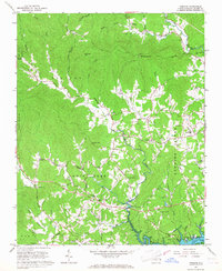
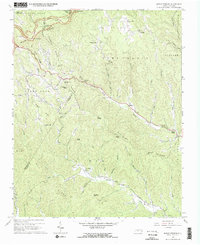
1966 Map of Purlear
USGS Topo · Published 1968About this map
The Reddies River and the newly formed W Kerr Scott Reservoir anchor this mid-1960s study of western Wilkes County. The landscape is defined by the convergence of mountain ridges like Rendezvous Mtn and White Oak Mtn with the branching waters of the Yadkin River. This era shows a community deeply rooted in its local institutions, evidenced by the high density of rural churches and cemeteries such as Arbor Grove Ch, Purlear Ch, and the Dunkirk Ch Cem.
Find a feature on this map
61 named features on this map. Tap any name to fly to it.
Don’t see what you’re looking for? This feature index may not catch every label — zoom into the map to look around manually.
Map Details
Editions of this 1966 Purlear Map
This is the sole edition of this map. No revisions or reprints were ever made.
Other maps of this area

1889 · Wilkesboro
USGS Topo · 1:125,000

1891 · Wilkesboro
USGS Topo · 1:125,000

1953 · Winston-Salem
USGS Topo · 1:250,000

1955 · Winston-Salem
USGS Topo · 1:250,000

1962 · Winston-Salem
USGS Topo · 1:250,000
1966 · Grandin
USGS Topo · 1:24,000
1966 · Boomer
USGS Topo · 1:24,000
1966 · Moravian Falls
USGS Topo · 1:24,000
1966 · Maple Springs
USGS Topo · 1:24,000

1966 · Wilkesboro
USGS Topo · 1:24,000