Loading...
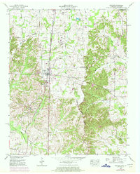
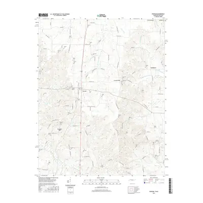
Loading map...1950 Map of Puryear
USGS Topo · Published 1972About this map
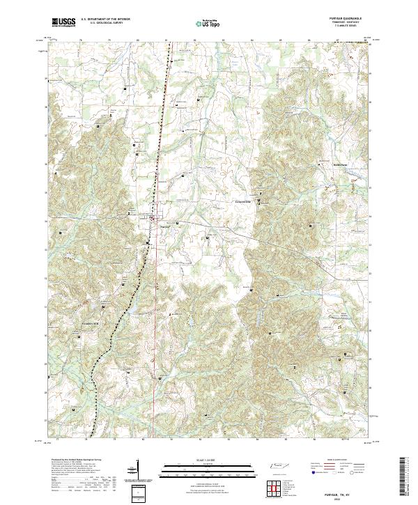
Louisville and Nashville rail lines bisect the landscape around Puryear and Conyersville, illustrating the mid-century transportation network connecting Henry County, Tennessee, with Calloway County, Kentucky. The terrain is defined by the Tennessee Valley Divide and the Valley Divide, which separate the headwaters of the Clarks River and its various forks from the drainage of the Obion River to the south.
Find a feature on this map
50 named features on this map. Tap any name to fly to it.
Don’t see what you’re looking for? This feature index may not catch every label — zoom into the map to look around manually.
Map Details
Date Portrayed1950
Date Published1972
PublisherU.S. Geological Survey
Map TypeTopographic
Scale1:24,000
Physical Dimensions22 x 27.4 inches
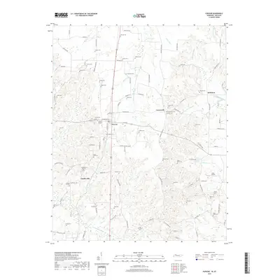
Editions of this 1950 Puryear Map
3 editions found
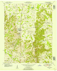
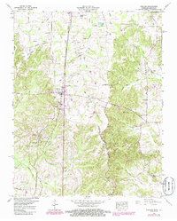
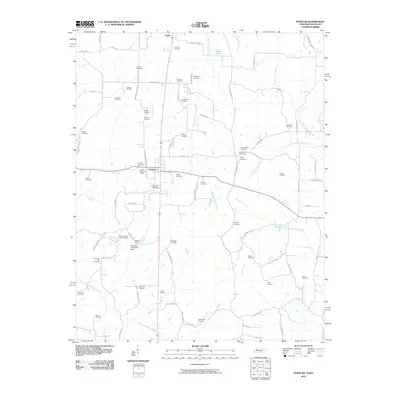
Historical Maps of Puryear Through Time
6 maps found

Featured Locations
Source Details
SourceU.S. Geological Survey
CopyrightPublic Domain