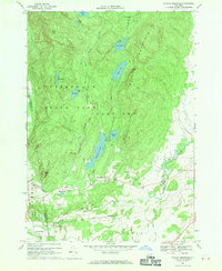
1966 Map of Putnam Mountain
USGS Topo · Published 1970About this map
West Fort Ann sits at the base of the prominent Putnam Mountain, serving as a focal point for this 1966 topography. The landscape is defined by the eastern edge of the Adirondack State Park, where the transition from steep peaks to the lowlands of Kingsbury is marked by a series of clustered ponds and early industrial relics. One such relic, the Iron Furnace near Mount Hope, hints at the historical extraction and processing that once occurred alongside the more modern recreation sites of Camp Wakpominee and Camp Little Notch. Water plays a central role in the area's development, with Hadlock Pond and Lake Nebo dominating the central terrain. Along the southern boundaries, small settlements like Tripoli and Pattons Mills appear alongside local landmarks like the Harrisena Ch and several family burial grounds, including Orcutt Cem and Sheldon Cem.
Find a feature on this map
41 named features on this map. Tap any name to fly to it.
Don’t see what you’re looking for? This feature index may not catch every label — zoom into the map to look around manually.
Map Details
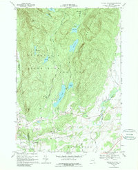
Editions of this 1966 Putnam Mountain Map
2 editions found
Other maps of this area

1893 · Fort Ann
USGS Topo · 1:62,500

1893 · Whitehall
USGS Topo · 1:62,500

1895 · Whitehall
USGS Topo · 1:62,500

1895 · Fort Ann
USGS Topo · 1:62,500

1895 · Glens Falls
USGS Topo · 1:62,500

1897 · Bolton
USGS Topo · 1:62,500

1897 · Glens Falls
USGS Topo · 1:62,500

1898 · Whitehall
USGS Topo · 1:62,500

1898 · Fort Ann
USGS Topo · 1:62,500

1900 · Bolton
USGS Topo · 1:62,500