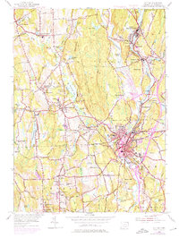
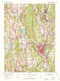
1955 Map of Putnam
USGS Topo · Published 1976About this map
The Quinebaug River and French River corridors anchor the industrial and social landscape of Northeastern Connecticut in this mid-century survey, updated with 1970s aerial revisions. The city of Putnam serves as the regional hub, where the Penn Central railroad lines converge near Day Kimball Hospital and Putnam Academy. The map documents a high density of educational and religious institutions, including Annhurst College and Woodstock Academy, alongside several parochial schools like St Joseph Sch and Sacred Heart Sch.
Find a feature on this map
103 named features on this map. Tap any name to fly to it.
Don’t see what you’re looking for? This feature index may not catch every label — zoom into the map to look around manually.
Map Details
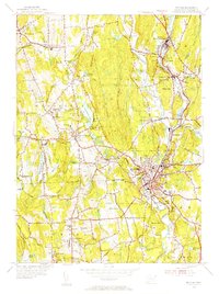
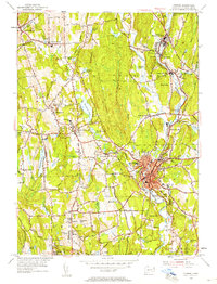
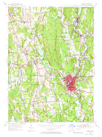
Editions of this 1955 Putnam Map
6 editions found
Other maps of this area

1887 · Brookfield
USGS Topo · 1:62,500

1889 · Webster
USGS Topo · 1:62,500

1889 · Putnam
USGS Topo · 1:62,500

1890 · Brookfield
USGS Topo · 1:62,500

1892 · Woodstock
USGS Topo · 1:62,500

1892 · Webster
USGS Topo · 1:62,500

1893 · Putnam
USGS Topo · 1:62,500

1893 · Brookfield
USGS Topo · 1:62,500

1908 · Quinsigamond
USGS Topo · 1:125,000

1908 · Ware
USGS Topo · 1:125,000