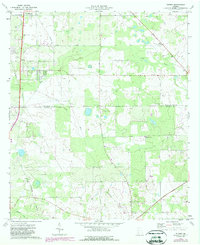
1974 Map of Putney
USGS Topo · Published 1988About this map
Putney and Williamsburg serve as the primary hubs in this mid-1970s landscape, which transitioned into the late 1980s with updated aerial photography. The terrain is characterized by a dense network of spiritual and community landmarks, particularly evident in the cluster of rural churches such as Mt Moriah No 2 Ch, St Mary Ch, and Mt Enon Ch. The presence of a Drag Strip near the northern border and a Substation to the south suggests a mix of local recreation and developing infrastructure during this era.
Find a feature on this map
21 named features on this map. Tap any name to fly to it.
Don’t see what you’re looking for? This feature index may not catch every label — zoom into the map to look around manually.
Map Details
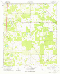
Editions of this 1974 Putney Map
2 editions found
Other maps of this area

1953 · Dothan
USGS Topo · 1:250,000

1953 · Waycross
USGS Topo · 1:250,000

1954 · Dothan
USGS Topo · 1:250,000

1955 · Dothan
USGS Topo · 1:250,000

1956 · Albany East
USGS Topo · 1:24,000

1956 · Albany West
USGS Topo · 1:24,000

1956 · Baconton
USGS Topo · 1:62,500

1956 · Sylvester
USGS Topo · 1:62,500

1956 · Doerun
USGS Topo · 1:62,500

1956 · Albany
USGS Topo · 1:62,500