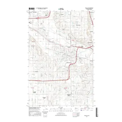
2017 Map of Puyallup
USGS Topo · Published 2017About this map
The Puyallup Valley serves as the central artery for this part of Pierce County, where the meandering Puyallup River and the White River converge near the community of Sumner. This 2017 survey documents the dense suburban and industrial expansion surrounding the historic city of Puyallup, illustrating how modern infrastructure has layered over the original river-bottom settlements. Significant landmarks such as the Puyallup River Bridge North Meridian and the Pierce Coll at Puyallup campus anchor the landscape, while numerous smaller springs like Maplewood Spring and Wildwood Spring hint at the area's complex hydrology.
Find a feature on this map
252 named features on this map. Tap any name to fly to it.
Don’t see what you’re looking for? This feature index may not catch every label — zoom into the map to look around manually.
Map Details
Editions of this 2017 Puyallup Map
This is the sole edition of this map. No revisions or reprints were ever made.
Other maps of this area

1897 · Tacoma
USGS Topo · 1:125,000

1900 · Tacoma
USGS Topo · 1:125,000

1941 · Tacoma South
USGS Topo · 1:62,500

1942 · Lake Tapps
USGS Topo · 1:62,500

1944 · Lake Tapps
USGS Topo · 1:62,500

1944 · Tacoma South
USGS Topo · 1:62,500

1949 · Tacoma North
USGS Topo · 1:24,000

1949 · Poverty Bay
USGS Topo · 1:24,000

1949 · Auburn
USGS Topo · 1:24,000

1956 · Orting
USGS Topo · 1:24,000