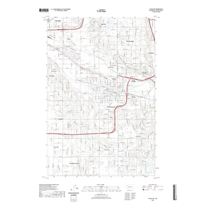
2020 Map of Puyallup
USGS Topo · Published 2020About this map
The Puyallup River and its associated valley floor dominate this landscape, where the meandering watercourse passes under the Puyallup River Bridge North Meridian as it moves toward Tacoma. The convergence of the White River and the main channel near Sumner highlights a topography defined by broad alluvial plains bordered by rising benches. These elevated areas are home to residential expansion in Edgewood and Summit View, while the valley itself contains dense transportation networks like Pacific Hwy E and River Rd E. Significant local infrastructure is visible in the south, where the McMillin Reservoir Number One-North and McMillin Reservoir Number Two serve as primary water management features for the region. Cultural and community landmarks are well-represented, including Pierce College at Puyallup and the expansive Woodlawn Abbey Mausoleum and Columbarium.
Find a feature on this map
153 named features on this map. Tap any name to fly to it.
Don’t see what you’re looking for? This feature index may not catch every label — zoom into the map to look around manually.
Map Details
Editions of this 2020 Puyallup Map
This is the sole edition of this map. No revisions or reprints were ever made.
Other maps of this area

1897 · Tacoma
USGS Topo · 1:125,000

1900 · Tacoma
USGS Topo · 1:125,000

1941 · Tacoma South
USGS Topo · 1:62,500

1942 · Lake Tapps
USGS Topo · 1:62,500

1944 · Lake Tapps
USGS Topo · 1:62,500

1944 · Tacoma South
USGS Topo · 1:62,500

1949 · Tacoma North
USGS Topo · 1:24,000

1949 · Poverty Bay
USGS Topo · 1:24,000

1949 · Auburn
USGS Topo · 1:24,000

1956 · Orting
USGS Topo · 1:24,000