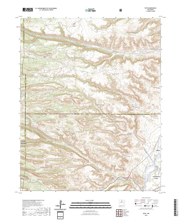
2023 Map of Puye
USGS Topo · Published 2023About this map
San Ildefonso Pueblo lies at the eastern edge of this landscape where the Rio Grande cuts through the high desert. The terrain is defined by a series of dramatic mesas and deep drainages, including Sawyer Canyon and Los Alamos Canyon, which radiate from the volcanic highlands of the Santa Fe National Forest. Historic sites such as Puye and Popawi are noted in the northwest, representing significant cultural landmarks on the Pajarito Plateau. The complex drainage network of Rendija Canyon, Pueblo Canyon, and Bayo Canyon illustrates the intricate erosion patterns of the volcanic tuff that characterizes this region. Modern connectivity is provided by roads like Battleship Hw and Than Povi Po, which trace the base of the mesas near the river valley, while higher elevations are accessed by routes like Indian Svc Rd 602.
Find a feature on this map
43 named features on this map. Tap any name to fly to it.
Don’t see what you’re looking for? This feature index may not catch every label — zoom into the map to look around manually.
Map Details
Editions of this 2023 Puye Map
This is the sole edition of this map. No revisions or reprints were ever made.
Other maps of this area

1892 · Santa Clara
USGS Topo · 1:125,000

1918 · Abiquiu
USGS Topo · 1:125,000

1952 · White Rock
USGS Topo · 1:24,000

1952 · Frijoles
USGS Topo · 1:24,000

1952 · Puye
USGS Topo · 1:24,000

1952 · Guaje Mountain
USGS Topo · 1:24,000

1953 · Espanola
USGS Topo · 1:24,000

1953 · Chili
USGS Topo · 1:24,000

1953 · Vallecitos
USGS Topo · 1:24,000

1953 · San Juan Pueblo
USGS Topo · 1:24,000