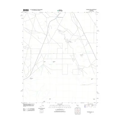
2012 Map of Pyramid Hills
USGS Topo · Published 2012About this map
The Pyramid Hills define this arid landscape in Kern County, creating a series of natural passes and canyons including Deadman Gap and Dagany Gap. The terrain is marked by seasonal drainage patterns, with Avenal Cr and Cottonwood Cr threading through the elevations. This 2012 survey illustrates the intersection of agricultural and industrial land use in the Central Valley region, evidenced by the Orchard Ranch and the extensive Devils Den Oil Field near the southern boundary. These developments are concentrated along local arteries such as Devils Den Rd and Big Tar Canyon Rd. Geological features like Indian Rocks and Devil Den highlight the remote character of the area, while the wide expanse of Sunflower Valley provides a stark contrast to the surrounding ridges and the deep cut of Sulphur Spring Canyon.
Find a feature on this map
15 named features on this map. Tap any name to fly to it.
Don’t see what you’re looking for? This feature index may not catch every label — zoom into the map to look around manually.
Map Details
Editions of this 2012 Pyramid Hills Map
This is the sole edition of this map. No revisions or reprints were ever made.
Other maps of this area

1914 · Lost Hills
USGS Topo · 1:125,000

1914 · Cholame
USGS Topo · 1:125,000

1915 · Cholame
USGS Topo · 1:125,000

1917 · Cholame
USGS Topo · 1:125,000

1930 · Avenal Gap
USGS Topo · 1:31,680

1930 · Kettleman Plain
USGS Topo · 1:31,680

1930 · Middle Dome
USGS Topo · 1:31,680

1933 · Avenal Gap
USGS Topo · 1:31,680

1933 · Kettleman Plain
USGS Topo · 1:31,680

1934 · Reef Ridge
USGS Topo · 1:31,680