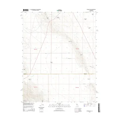
2015 Map of Pyramid Hills
USGS Topo · Published 2015About this map
Pyramid Hills and the eastern edge of the Diablo Range define this landscape along the border of Kings and Kern Counties. The topography is dominated by dramatic ridges and basins, from the steep Reef Ridge in the north to the sprawling San Joaquin Valley and Kettleman Plain to the east. Waterways such as Avenal Cr and Cottonwood Cr cut through the arid terrain, creating natural corridors like Deadman Gap and Dagany Gap that have long influenced movement through the region.
Find a feature on this map
22 named features on this map. Tap any name to fly to it.
Don’t see what you’re looking for? This feature index may not catch every label — zoom into the map to look around manually.
Map Details
Editions of this 2015 Pyramid Hills Map
This is the sole edition of this map. No revisions or reprints were ever made.
Other maps of this area

1914 · Lost Hills
USGS Topo · 1:125,000

1914 · Cholame
USGS Topo · 1:125,000

1915 · Cholame
USGS Topo · 1:125,000

1917 · Cholame
USGS Topo · 1:125,000

1930 · Avenal Gap
USGS Topo · 1:31,680

1930 · Kettleman Plain
USGS Topo · 1:31,680

1930 · Middle Dome
USGS Topo · 1:31,680

1933 · Avenal Gap
USGS Topo · 1:31,680

1933 · Kettleman Plain
USGS Topo · 1:31,680

1934 · Reef Ridge
USGS Topo · 1:31,680