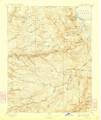
1896 Map of Pyramid Peak
USGS Topo · Published 1923About this map
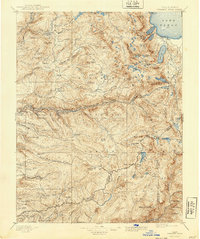
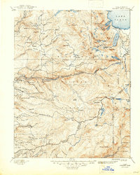
Lake Tahoe and its southwestern alpine surroundings dominate this late nineteenth-century survey, revealing a landscape defined by early mountain resorts and timber extraction. The area near Emerald Bay and Fallen Leaf Lake shows established points like Tallac and Yanks, while the higher elevations are marked by remote outposts such as Uncle Toms Cabin and the restorative Glen Alpine Springs. The presence of Tarrs Saw Mill and several numbered outposts like Ditch Camp 7 and Ditch Camp 10 along the South Fork American River indicates the active management of water and wood resources during this era of development.
Find a feature on this map
144 named features on this map. Tap any name to fly to it.
Don’t see what you’re looking for? This feature index may not catch every label — zoom into the map to look around manually.
Map Details
Editions of this 1896 Pyramid Peak Map
7 editions found

Other maps of this area

1889 · Jackson
USGS Topo · 1:125,000

1889 · Pyramid Peak
USGS Topo · 1:125,000

1889 · Markleeville
USGS Topo · 1:125,000

1891 · Carson
USGS Topo · 1:125,000

1891 · Markleeville
USGS Topo · 1:125,000

1891 · Colfax
USGS Topo · 1:125,000

1891 · Truckee
USGS Topo · 1:125,000

1891 · Big Trees
USGS Topo · 1:125,000

1891 · Placerville
USGS Topo · 1:125,000

1891 · Pyramid Peak
USGS Topo · 1:125,000