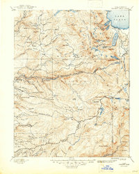
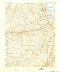
1896 Map of Pyramid Peak
USGS Topo · Published 1947About this map
Lake Tahoe and the high Sierra peaks dominate this late 19th-century survey, which documents the early infrastructure of El Dorado County before modern development. The map reveals a landscape defined by seasonal habitation and industry, featuring a network of camps and mills such as Bryants S.M., Ditch Camp 7, and a standalone Saw Mill. Settlements like Uncle Toms Cabin and Yanks mark significant waypoints for travelers of the era.
Find a feature on this map
160 named features on this map. Tap any name to fly to it.
Don’t see what you’re looking for? This feature index may not catch every label — zoom into the map to look around manually.
Map Details
Editions of this 1896 Pyramid Peak Map
7 editions found

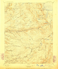
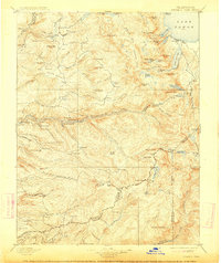
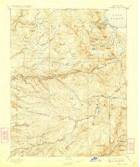
Other maps of this area

1889 · Jackson
USGS Topo · 1:125,000

1889 · Pyramid Peak
USGS Topo · 1:125,000

1889 · Markleeville
USGS Topo · 1:125,000

1891 · Carson
USGS Topo · 1:125,000

1891 · Markleeville
USGS Topo · 1:125,000

1891 · Colfax
USGS Topo · 1:125,000

1891 · Truckee
USGS Topo · 1:125,000

1891 · Big Trees
USGS Topo · 1:125,000

1891 · Placerville
USGS Topo · 1:125,000

1891 · Pyramid Peak
USGS Topo · 1:125,000