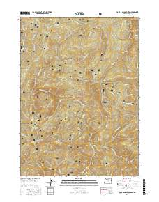
2017 Map of Quail Prairie Mountain
USGS Topo · Published 2017About this map
Siskiyou National Forest lands dominate this territory in the Klamath Mountains, where the drainage of the Chetco River and its S Fork Chetco River creates a deeply dissected landscape of ridges and peaks. Distinctive high-elevation landmarks include Quail Prairie Mtn and the evocatively named Swede Heaven. The map details an extensive network of Forest Service infrastructure, including Red Mountain Rd and various routes like Nat For Dev Rd 1909, which provide access to remote features such as Red Mountain Prairie and Pollywog Butte. The presence of several "PB" or public land protractions indicates areas of complex surveying history. Along the waterways, specific points of interest like the Submarine Hole on Boulder Cr and the sharp rise of Devils Backbone highlight the specialized local naming of this backcountry terrain.
Find a feature on this map
45 named features on this map. Tap any name to fly to it.
Don’t see what you’re looking for? This feature index may not catch every label — zoom into the map to look around manually.
Map Details
Editions of this 2017 Quail Prairie Mountain Map
This is the sole edition of this map. No revisions or reprints were ever made.
Other maps of this area

1917 · Kerby
USGS Topo · 1:125,000

1918 · Kerby
USGS Topo · 1:125,000

1945 · Kerby
USGS Topo · 1:125,000

1954 · Coos Bay
USGS Topo · 1:250,000

1954 · Chetco Peak
USGS Topo · 1:62,500

1954 · Collier Butte
USGS Topo · 1:62,500

1954 · Mt. Emily
USGS Topo · 1:62,500

1954 · Pearsoll Peak
USGS Topo · 1:62,500

1955 · Medford
USGS Topo · 1:250,000

1957 · Medford
USGS Topo · 1:250,000