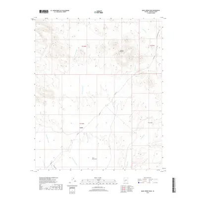
2018 Map of Quail Spring Wash
USGS Topo · Published 2018About this map
Saddle stands at the heart of this desert landscape, characterized by the complex drainage network of the Gila Bend Mountains. The terrain is defined by a series of significant seasonal watercourses, most notably the Fourth of July Wash and the Quail Wash, which converge to shape the local topography. The map illustrates a region where sparse desert infrastructure meets traditional travel routes, including the W Southern Pacific Trl and the aptly named Poco Dinero Rd. These roads and trails follow the natural contours of the land, cutting through the arid basins between mountain ridges. The naming of local features like Yellow Medicine Wash and Loudermilk Wash reflects the local nomenclature of this part of Maricopa County, providing a detailed record of the desert's geographic identity in the early 21st century.
Find a feature on this map
16 named features on this map. Tap any name to fly to it.
Don’t see what you’re looking for? This feature index may not catch every label — zoom into the map to look around manually.
Map Details
Editions of this 2018 Quail Spring Wash Map
This is the sole edition of this map. No revisions or reprints were ever made.
Other maps of this area

1942 · Vicksburg
USGS Topo · 1:250,000

1951 · Dendora Valley
USGS Topo · 1:62,500

1951 · Woolsey Peak
USGS Topo · 1:62,500

1954 · Phoenix
USGS Topo · 1:250,000

1957 · Phoenix
USGS Topo · 1:250,000

1958 · Phoenix
USGS Topo · 1:250,000

1960 · Phoenix
USGS Topo · 1:250,000

1962 · Cortez Peak
USGS Topo · 1:62,500

1962 · Arlington
USGS Topo · 1:62,500

1969 · Phoenix
USGS Topo · 1:250,000