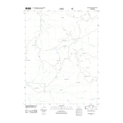
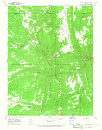
2011 Map of Quaker Mesa
USGS Topo · Published 2011About this map
Quaker Mesa and the surrounding high-altitude plateaus of Mesa County define this 2011 survey, showing a landscape shaped by both natural drainage and early water management. The terrain is a complex network of peaks and basins, including Baldy Mountain, Twin Peaks, and Haystack Mountain, which serve as headwaters for numerous creeks. The presence of the Thompson Creek Ditch and Clear Fork Ditch suggests a history of diverting mountain runoff to support agricultural or ranching interests in lower elevations.
Find a feature on this map
40 named features on this map. Tap any name to fly to it.
Don’t see what you’re looking for? This feature index may not catch every label — zoom into the map to look around manually.
Map Details
Editions of this 2011 Quaker Mesa Map
This is the sole edition of this map. No revisions or reprints were ever made.
Other maps of this area

1957 · Leadville
USGS Topo · 1:250,000

1959 · Leadville
USGS Topo · 1:250,000

1960 · Leadville
USGS Topo · 1:250,000

1961 · Cattle Creek
USGS Topo · 1:24,000

1961 · Spruce Mountain
USGS Topo · 1:24,000

1962 · Leadville
USGS Topo · 1:250,000
1963 · Flatiron Mountain
USGS Topo · 1:24,000
1963 · Center Mountain
USGS Topo · 1:24,000
1963 · Placita
USGS Topo · 1:24,000
1963 · Stony Ridge
USGS Topo · 1:24,000