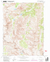
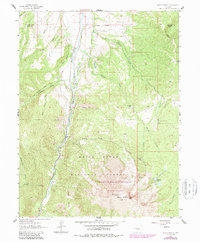
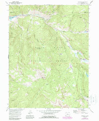
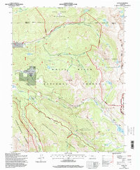
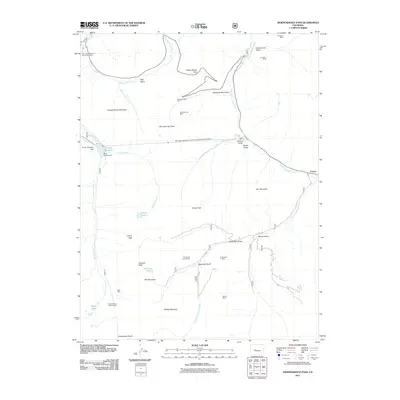
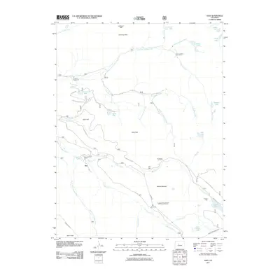
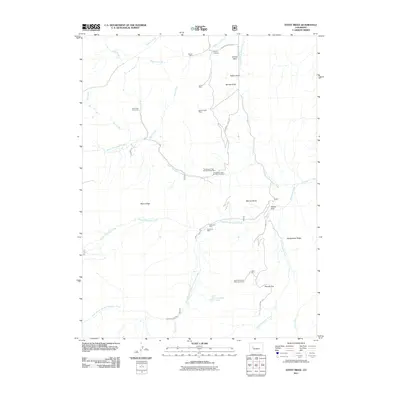
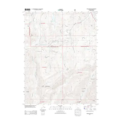
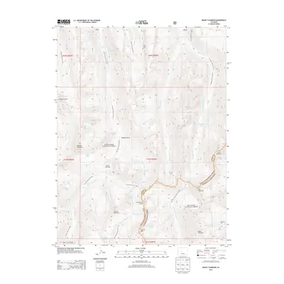
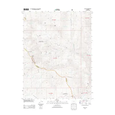
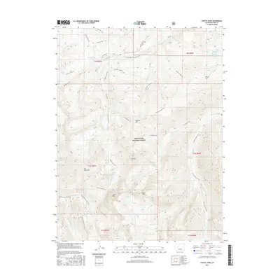
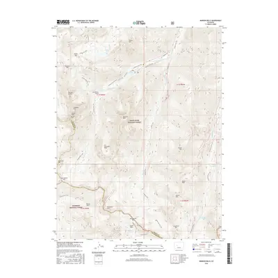
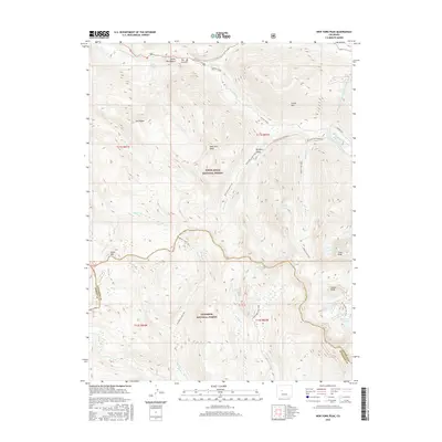
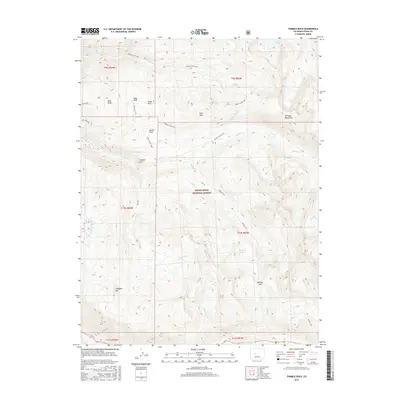
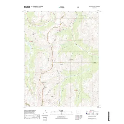
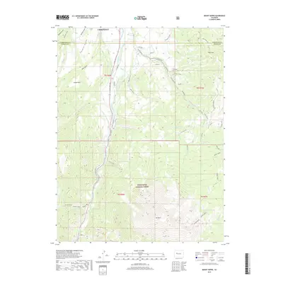
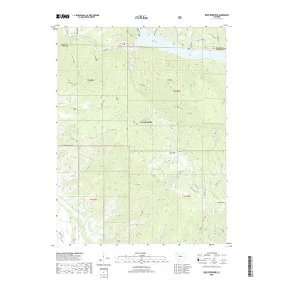
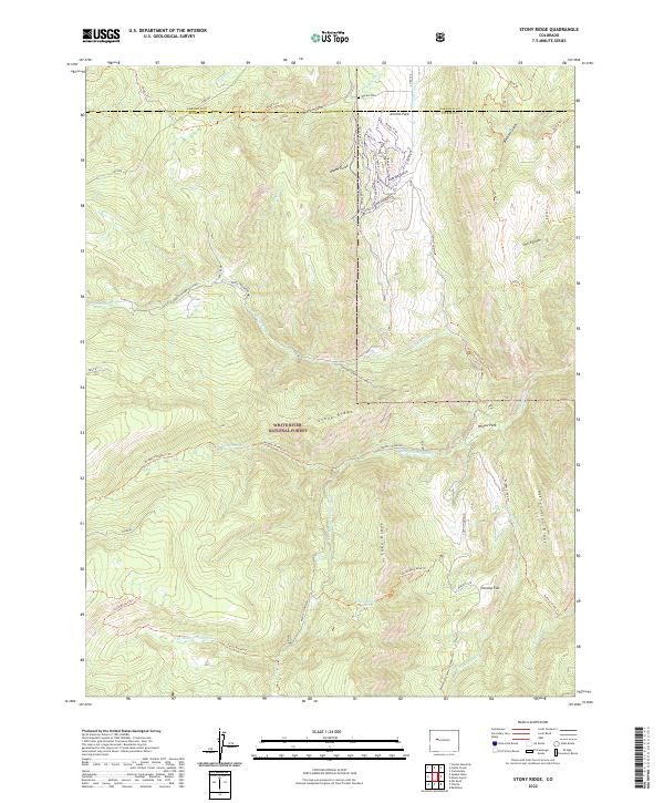
1963 Map of Stony Ridge
USGS Topo · Published 1967About this map
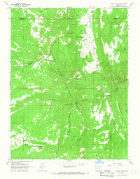
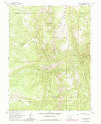
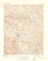
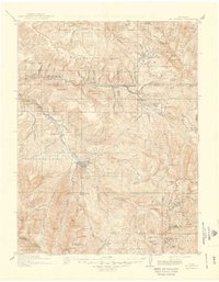
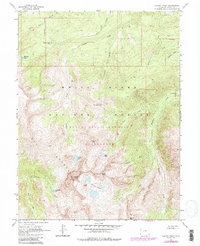
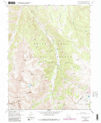
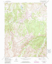
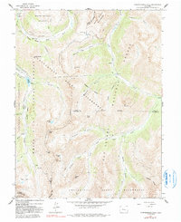
Mining and high-country ranching operations define the landscape along the Garfield and Pitkin County line during the early 1960s. The coal industry's footprint is evident through the presence of the Marion Mine, Union Mine, and industrial Coke Ovens located near Marion Gulch. These operations are supported by a network of infrastructure including a Pipeline and several Air Tunnels associated with the Thompson Creek Mine.
Find a feature on this map
43 named features on this map. Tap any name to fly to it.
Don’t see what you’re looking for? This feature index may not catch every label — zoom into the map to look around manually.
Map Details
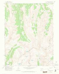
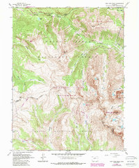
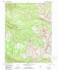
Editions of this 1963 Stony Ridge Map
3 editions found
Historical Maps of Garfield County Through Time
89 maps found
1909 Mount Jackson
Pitkin County, CO
1911 Mount Jackson
Pitkin County, CO
1960 Capitol Peak
Pitkin County, CO
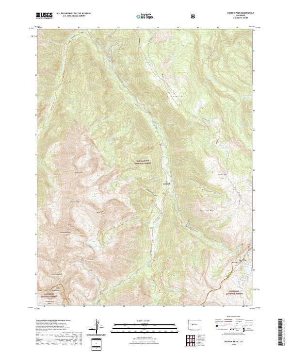
1960 Hayden Peak
Pitkin County, CO
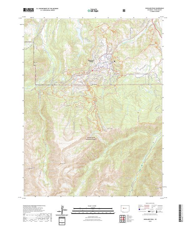
1960 Highland Peak
Pitkin County, CO
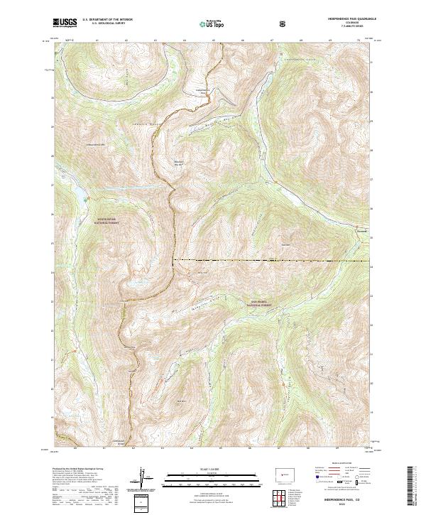
1960 Independence Pass
Pitkin County, CO
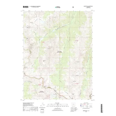
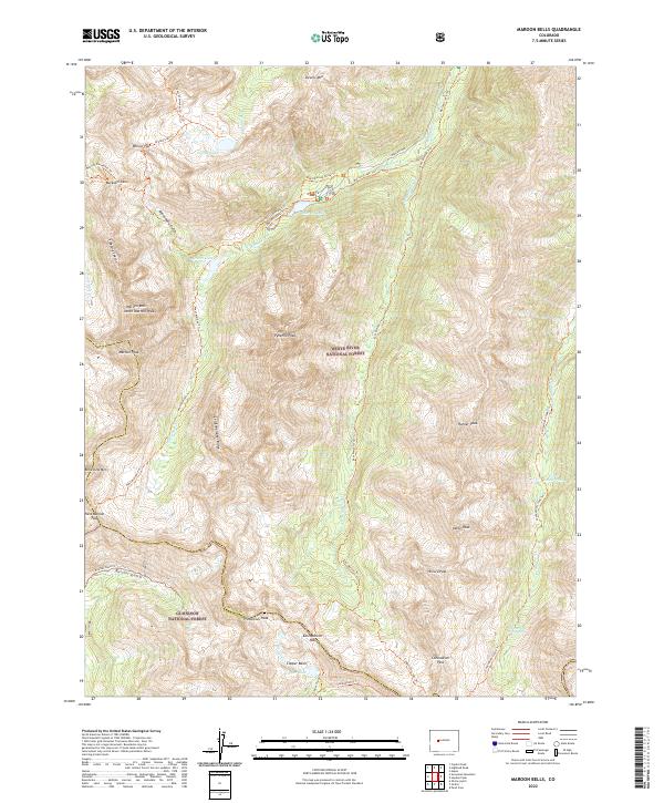
1960 Maroon Bells
Pitkin County, CO
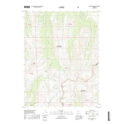
1960 Mount Champion
Pitkin County, CO
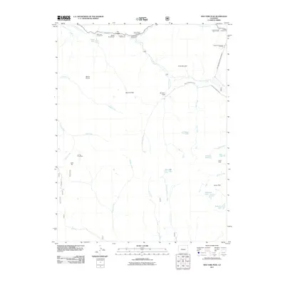
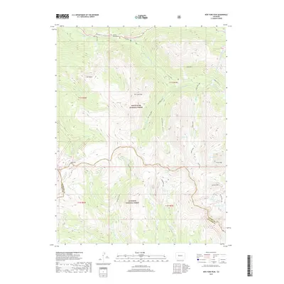
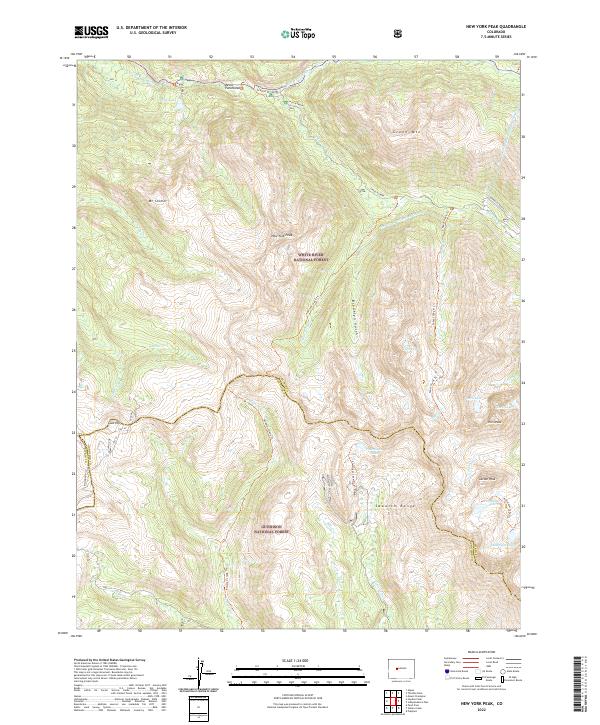
1960 New York Peak
Pitkin County, CO
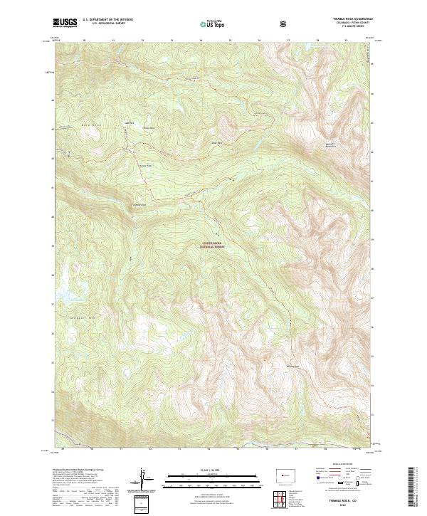
1960 Thimble Rock
Pitkin County, CO
1961 Mount Sopris
Pitkin County, CO
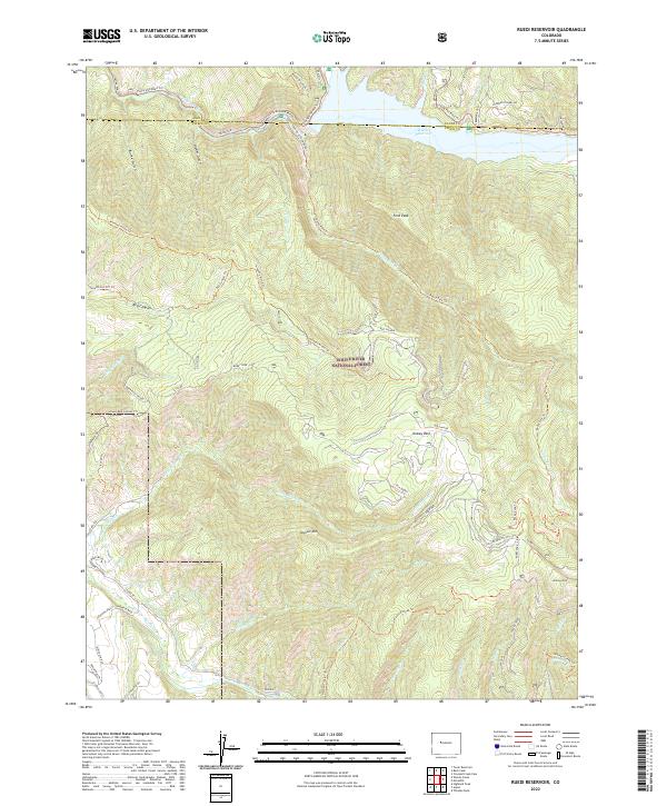
1961 Ruedi Reservoir
Pitkin County, CO
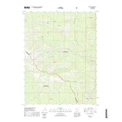
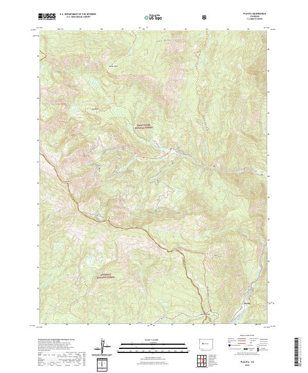
1963 Placita
Pitkin County, CO
1963 Stony Ridge
Pitkin County, CO
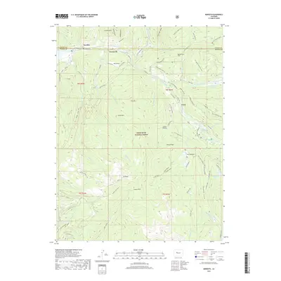
1970 Meredith
Pitkin County, CO
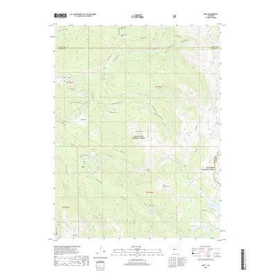
1970 Nast
Pitkin County, CO
1994 Independence Pass
Pitkin County, CO
1994 Mount Champion
Pitkin County, CO
1994 Nast
Pitkin County, CO
2011 Capitol Peak
Pitkin County, CO
2011 Hayden Peak
Pitkin County, CO
2011 Highland Peak
Pitkin County, CO
2011 Independence Pass
Pitkin County, CO
2011 Maroon Bells
Pitkin County, CO

2011 Meredith
Pitkin County, CO
2011 Mount Champion
Pitkin County, CO
2011 Mount Sopris
Pitkin County, CO
2011 Nast
Pitkin County, CO
2011 New York Peak
Pitkin County, CO
2011 Placita
Pitkin County, CO
2011 Ruedi Reservoir
Pitkin County, CO
2011 Stony Ridge
Pitkin County, CO
2011 Thimble Rock
Pitkin County, CO
2013 Capitol Peak
Pitkin County, CO
2013 Hayden Peak
Pitkin County, CO
2013 Highland Peak
Pitkin County, CO
2013 Independence Pass
Pitkin County, CO
2013 Maroon Bells
Pitkin County, CO
2013 Meredith
Pitkin County, CO
2013 Mount Champion
Pitkin County, CO
2013 Mount Sopris
Pitkin County, CO
2013 Nast
Pitkin County, CO
2013 New York Peak
Pitkin County, CO
2013 Placita
Pitkin County, CO
2013 Ruedi Reservoir
Pitkin County, CO
2013 Stony Ridge
Pitkin County, CO
2013 Thimble Rock
Pitkin County, CO
2016 Capitol Peak
Pitkin County, CO
2016 Hayden Peak
Pitkin County, CO
2016 Highland Peak
Pitkin County, CO
2016 Independence Pass
Pitkin County, CO
2016 Maroon Bells
Pitkin County, CO

2016 Meredith
Pitkin County, CO
2016 Mount Champion
Pitkin County, CO
2016 Mount Sopris
Pitkin County, CO
2016 Nast
Pitkin County, CO
2016 New York Peak
Pitkin County, CO
2016 Placita
Pitkin County, CO
2016 Ruedi Reservoir
Pitkin County, CO
2016 Stony Ridge
Pitkin County, CO
2016 Thimble Rock
Pitkin County, CO
2019 Capitol Peak
Pitkin County, CO
2019 Hayden Peak
Pitkin County, CO
2019 Highland Peak
Pitkin County, CO
2019 Independence Pass
Pitkin County, CO
2019 Maroon Bells
Pitkin County, CO
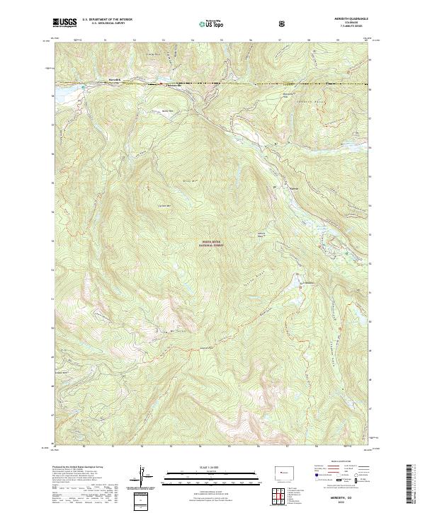
2019 Meredith
Pitkin County, CO
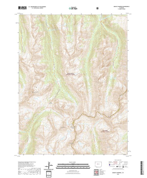
2019 Mount Champion
Pitkin County, CO
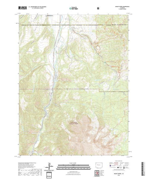
2019 Mount Sopris
Pitkin County, CO
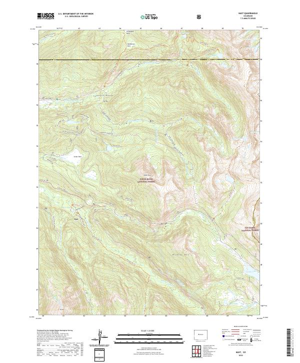
2019 Nast
Pitkin County, CO
2019 New York Peak
Pitkin County, CO
2019 Placita
Pitkin County, CO
2019 Ruedi Reservoir
Pitkin County, CO
2019 Stony Ridge
Pitkin County, CO
2019 Thimble Rock
Pitkin County, CO
2022 Capitol Peak
Pitkin County, CO
2022 Hayden Peak
Pitkin County, CO
2022 Highland Peak
Pitkin County, CO
2022 Independence Pass
Pitkin County, CO
2022 Maroon Bells
Pitkin County, CO
2022 Meredith
Pitkin County, CO
2022 Mount Champion
Pitkin County, CO
2022 Mount Sopris
Pitkin County, CO
2022 Nast
Pitkin County, CO
2022 New York Peak
Pitkin County, CO
2022 Placita
Pitkin County, CO
2022 Ruedi Reservoir
Pitkin County, CO
2022 Stony Ridge
Pitkin County, CO
2022 Thimble Rock
Pitkin County, CO