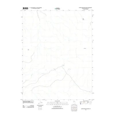
2011 Map of Quartz Mountain NW
USGS Topo · Published 2011About this map
Gabbs Wash meanders across this Churchill County landscape, defining the drainage patterns of an arid basin dominated by topographic landmarks. The terrain is anchored by the East Gate Range in the northeast and distinct high points such as Grayback and Iron Rock. These features provided essential navigation markers for early travelers and surveyors in the high desert. Water sources like Mud Spring are critical focal points on this map, illustrating the sparse but vital hydrological network that once supported local movement and land use. The layout of 4WD trails and light-duty roads tracing the contours of the wash suggests a landscape primarily utilized for transit and ranching operations in the early 21st century.
Find a feature on this map
5 named features on this map. Tap any name to fly to it.
Don’t see what you’re looking for? This feature index may not catch every label — zoom into the map to look around manually.
Map Details
Editions of this 2011 Quartz Mountain NW Map
This is the sole edition of this map. No revisions or reprints were ever made.
Other maps of this area

1908 · Carson Sink
USGS Topo · 1:250,000

1910 · Carson Sink
USGS Topo · 1:250,000

1955 · Millett
USGS Topo · 1:250,000

1957 · Reno
USGS Topo · 1:250,000

1959 · Reno
USGS Topo · 1:250,000

1959 · Millett
USGS Topo · 1:250,000

1960 · Reno
USGS Topo · 1:250,000
1969 · Quartz Mtn
USGS Topo · 1:24,000
1969 · Quartzite Mtn NW
USGS Topo · 1:24,000

1969 · Desatoya Peak
USGS Topo · 1:24,000