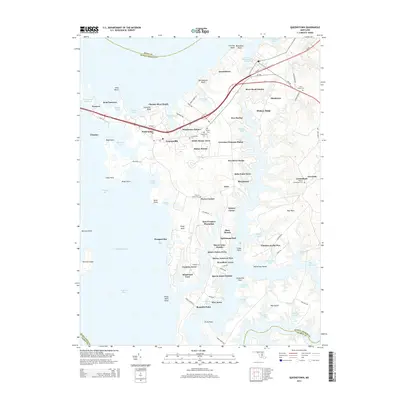
2014 Map of Queenstown
USGS Topo · Published 2014About this map
Grasonville and Queenstown anchor this coastal landscape where the Chester River meets the intricate coves of the Chesapeake Bay. The terrain is defined by a series of necks and points, including Piney Neck and Bennetts Point, which separate the waters of Prospect Bay from the winding channels of the Wye River. Extensive land grants and estates like East Prospect Plantation, Sportsman Hall, and Cheston on the Wye reflect the long-standing agricultural and maritime heritage of Queen Anne's County.
Find a feature on this map
104 named features on this map. Tap any name to fly to it.
Don’t see what you’re looking for? This feature index may not catch every label — zoom into the map to look around manually.
Map Details
Editions of this 2014 Queenstown Map
This is the sole edition of this map. No revisions or reprints were ever made.
Other maps of this area

1892 · Annapolis
USGS Topo · 1:62,500

1893 · North Point
USGS Topo · 1:62,500

1898 · Choptank
USGS Topo · 1:125,000

1898 · Tolchester
USGS Topo · 1:125,000

1901 · Chestertown
USGS Topo · 1:62,500

1903 · Tolchester
USGS Topo · 1:125,000

1904 · St. Michaels
USGS Topo · 1:62,500

1904 · North Point
USGS Topo · 1:62,500

1904 · Annapolis
USGS Topo · 1:62,500

1908 · Tolchester
USGS Topo · 1:125,000