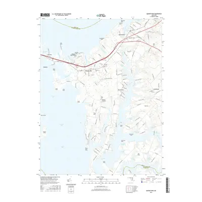
2016 Map of Queenstown
USGS Topo · Published 2016About this map
Queenstown and the surrounding Chesapeake Bay inlets are defined by a complex network of tidal creeks and points that have shaped local life for generations. This coastal area of the Eastern Shore transitions from the developed corridor of Ocean Gtwy to the intricate shorelines of Wye Island and Piney Neck. The map provides significant detail for genealogists and local historians, documenting numerous family and community burial grounds such as Saint Peters Cem and Wye of Carmichael Cem.
Find a feature on this map
147 named features on this map. Tap any name to fly to it.
Don’t see what you’re looking for? This feature index may not catch every label — zoom into the map to look around manually.
Map Details
Editions of this 2016 Queenstown Map
This is the sole edition of this map. No revisions or reprints were ever made.
Other maps of this area

1892 · Annapolis
USGS Topo · 1:62,500

1893 · North Point
USGS Topo · 1:62,500

1898 · Choptank
USGS Topo · 1:125,000

1898 · Tolchester
USGS Topo · 1:125,000

1901 · Chestertown
USGS Topo · 1:62,500

1903 · Tolchester
USGS Topo · 1:125,000

1904 · St. Michaels
USGS Topo · 1:62,500

1904 · North Point
USGS Topo · 1:62,500

1904 · Annapolis
USGS Topo · 1:62,500

1908 · Tolchester
USGS Topo · 1:125,000