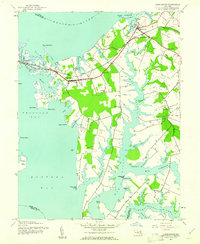
1942 Map of Queenstown
USGS Topo · Published 1961About this map
The Eastern Shore of Maryland in the early 1940s is defined here by its intricate shoreline and maritime-dependent settlements. Queenstown and Grasonville serve as primary hubs along the Baltimore and Eastern railroad line, which cuts through the neck of land between the Chester River and Prospect Bay. The landscape is dotted with several rural houses of worship, including St Peters Ch, Garnett Ch, and Wye Ch, reflecting the established community structure of the time. The geography is dominated by deeply recessed coves and creeks such as Jackson Creek and Greenwood Creek, which carve into Piney Neck. A Landing Field positioned on the western shore of the neck suggests early aviation activity in this coastal region, while smaller hamlets like Carmichael and Bryantown anchor the interior farming and tidal lands.
Find a feature on this map
57 named features on this map. Tap any name to fly to it.
Don’t see what you’re looking for? This feature index may not catch every label — zoom into the map to look around manually.
Map Details
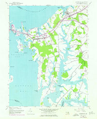
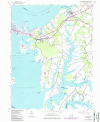
Editions of this 1942 Queenstown Map
3 editions found
Other maps of this area

1892 · Annapolis
USGS Topo · 1:62,500

1893 · North Point
USGS Topo · 1:62,500

1898 · Choptank
USGS Topo · 1:125,000

1898 · Tolchester
USGS Topo · 1:125,000

1901 · Chestertown
USGS Topo · 1:62,500

1903 · Tolchester
USGS Topo · 1:125,000

1904 · St. Michaels
USGS Topo · 1:62,500

1904 · North Point
USGS Topo · 1:62,500

1904 · Annapolis
USGS Topo · 1:62,500

1908 · Tolchester
USGS Topo · 1:125,000