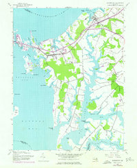
1942 Map of Queenstown
USGS Topo · Published 1976About this map
The Wye River and Chester River carve deep, tidal inlets into this Chesapeake Bay landscape, defining the layout of rural Queenstown and Grasonville. In the early 1940s, the region's movement was dictated by these waterways and the Baltimore and Eastern RR Grade, which runs parallel to the northern shorelines. The map documents the historical footprint of small bayside communities like Bryantown and Carmichael, alongside significant local landmarks such as St Peters Ch and Wye Ch.
Find a feature on this map
58 named features on this map. Tap any name to fly to it.
Don’t see what you’re looking for? This feature index may not catch every label — zoom into the map to look around manually.
Map Details
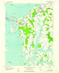
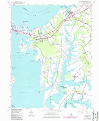
Editions of this 1942 Queenstown Map
3 editions found
Other maps of this area

1892 · Annapolis
USGS Topo · 1:62,500

1893 · North Point
USGS Topo · 1:62,500

1898 · Choptank
USGS Topo · 1:125,000

1898 · Tolchester
USGS Topo · 1:125,000

1901 · Chestertown
USGS Topo · 1:62,500

1903 · Tolchester
USGS Topo · 1:125,000

1904 · St. Michaels
USGS Topo · 1:62,500

1904 · North Point
USGS Topo · 1:62,500

1904 · Annapolis
USGS Topo · 1:62,500

1908 · Tolchester
USGS Topo · 1:125,000