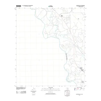
2010 Map of Quemado SE
USGS Topo · Published 2010About this map
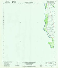
The Rio Grande forms a winding international boundary through this borderland region, defining the edge of the United States and Mexico. The landscape is characterized by a series of residential colonias and infrastructure supporting the rural and industrial outskirts of the area. Significant residential developments include Airport Addition Colonia in the north and the clustered settlements of Elm Creek Number 1 Colonia, Elm Creek Number 2 Colonia, and Hopedale Colonia further south near the banks of Elm Creek.
Find a feature on this map
15 named features on this map. Tap any name to fly to it.
Don’t see what you’re looking for? This feature index may not catch every label — zoom into the map to look around manually.
Map Details
Editions of this 2010 Quemado SE Map
This is the sole edition of this map. No revisions or reprints were ever made.
Other maps of this area

1940 · Eagle Pass
USGS Topo · 1:62,500

1940 · Paloma
USGS Topo · 1:62,500

1940 · Quemado
USGS Topo · 1:62,500

1958 · Eagle Pass
USGS Topo · 1:250,000

1965 · Eagle Pass
USGS Topo · 1:250,000
1974 · Deadmans Hill
USGS Topo · 1:24,000
1974 · Quemado SE
USGS Topo · 1:24,000
1974 · Paloma
USGS Topo · 1:24,000
1979 · Quemado West
USGS Topo · 1:24,000
1983 · Eagle Pass East
USGS Topo · 1:24,000