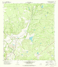
1974 Map of Deadmans Hill
USGS Topo · Published 1977About this map
Seco Mines anchors the southwestern corner of this West Texas landscape, where industrial and agricultural infrastructure meet the arid brushland of Maverick County. This 1970s survey documents a complex water management system vital to the region, featuring a prominent Canal, a Siphon, and Lateral 21 cutting through the terrain. Transportation history is etched into the earth here, visible through the active Southern Pacific line and a bypass route marked as an Old Railroad Grade. The landscape is punctuated by numerous stock tanks, including Paula Tank and George Tank, which serve as critical landmarks alongside prominent elevations like Deadmans Hill and Consuelo Hill. Scattered Oil Wells and a Gravel Pit indicate the local extractive economy, while the presence of a Landing Strip and Roadside Park reflect the connectivity and transit needs of this borderlands region.
Find a feature on this map
24 named features on this map. Tap any name to fly to it.
Don’t see what you’re looking for? This feature index may not catch every label — zoom into the map to look around manually.
Map Details
Editions of this 1974 Deadmans Hill Map
This is the sole edition of this map. No revisions or reprints were ever made.
Other maps of this area

1940 · Eagle Pass
USGS Topo · 1:62,500

1940 · Paloma
USGS Topo · 1:62,500

1940 · Quemado
USGS Topo · 1:62,500

1958 · Eagle Pass
USGS Topo · 1:250,000

1965 · Eagle Pass
USGS Topo · 1:250,000
1974 · Indian Tank
USGS Topo · 1:24,000
1974 · Trosado Tank
USGS Topo · 1:24,000
1974 · Quemado SE
USGS Topo · 1:24,000
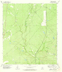
1974 · Paloma
USGS Topo · 1:24,000
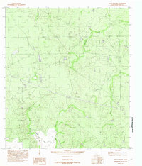
1982 · Eagle Pass NE
USGS Topo · 1:24,000
Featured Places
- Elm Creek, TX
- Sauz Creek Colonia, TX
- Deer Run Number 3 Colonia, TX
- Deer Run Number 2 Colonia, TX
- South Elm Creek Number 3 Colonia, TX