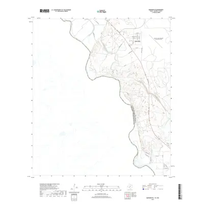
2019 Map of Quemado SE
USGS Topo · Published 2019About this map
The Rio Grande defines the international boundary between the United States of America and Estados Unidos Mexicanos on this 2019 survey. The landscape is marked by a complex network of man-made waterways, including the Maverick Irrigation District Canal, Ditch Number Fifteen, and Lateral Twentytwo, which facilitate agriculture in this arid border region. Settlement is concentrated in the northern portion of the quadrangle near Maverick and the community of Radar Base. To the east, the Maverick County Memorial International Airport serves as a major transportation hub, while a series of named roads like Kypuri Rd and Eagle View Rd extend toward the river's winding course. The terrain is characterized by the convergence of several natural drainages, such as Hediondo Cr and Elm Cr, with the primary river channel.
Find a feature on this map
35 named features on this map. Tap any name to fly to it.
Don’t see what you’re looking for? This feature index may not catch every label — zoom into the map to look around manually.
Map Details
Editions of this 2019 Quemado SE Map
This is the sole edition of this map. No revisions or reprints were ever made.
Other maps of this area

1940 · Eagle Pass
USGS Topo · 1:62,500

1940 · Paloma
USGS Topo · 1:62,500

1940 · Quemado
USGS Topo · 1:62,500

1958 · Eagle Pass
USGS Topo · 1:250,000

1965 · Eagle Pass
USGS Topo · 1:250,000
1974 · Deadmans Hill
USGS Topo · 1:24,000
1974 · Quemado SE
USGS Topo · 1:24,000
1974 · Paloma
USGS Topo · 1:24,000
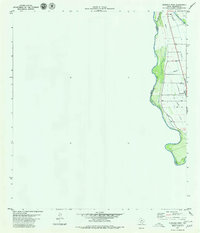
1979 · Quemado West
USGS Topo · 1:24,000
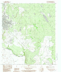
1983 · Eagle Pass East
USGS Topo · 1:24,000