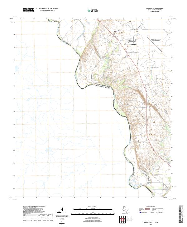
2022 Map of Quemado SE
USGS Topo · Published 2022About this map
The Rio Grande defines the international boundary between the United-States of America Estados Unidos Mexicanos in this section of Maverick County. The landscape is heavily influenced by the Maverick Irrigation District Canal and Ditch Number Fifteen, which redirect water through the arid terrain north of the river. Infrastructure for national defense and transportation is prominent on the eastern plateau, specifically the Radar Base and the Maverick County Memorial International Airport. Smaller drainage systems like Hediondo Cr and Elm Cr cut through the topography, while a network of named local roads such as Desolation Row St, Styxs Rd, and Monarck Path suggests residential developments or specialized utility access near the airport and military facilities.
Find a feature on this map
32 named features on this map. Tap any name to fly to it.
Don’t see what you’re looking for? This feature index may not catch every label — zoom into the map to look around manually.
Map Details
Editions of this 2022 Quemado SE Map
This is the sole edition of this map. No revisions or reprints were ever made.
Other maps of this area

1940 · Eagle Pass
USGS Topo · 1:62,500

1940 · Paloma
USGS Topo · 1:62,500

1940 · Quemado
USGS Topo · 1:62,500

1958 · Eagle Pass
USGS Topo · 1:250,000

1965 · Eagle Pass
USGS Topo · 1:250,000
1974 · Deadmans Hill
USGS Topo · 1:24,000
1974 · Quemado SE
USGS Topo · 1:24,000
1974 · Paloma
USGS Topo · 1:24,000
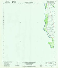
1979 · Quemado West
USGS Topo · 1:24,000
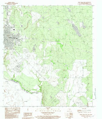
1983 · Eagle Pass East
USGS Topo · 1:24,000