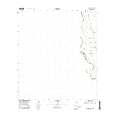
2016 Map of Quemado West
USGS Topo · Published 2016About this map
The Rio Grande serves as the international boundary on this borderland survey, separating the rural landscape of Maverick Co, Texas, from Mexico. The small settlement of Quemado occupies the eastern portion of the sheet, situated along Del Rio Blvd and FM 1664. The area is characterized by a network of rural roads that often reflect local landownership and family histories, including Willory Farm Rd, Pendergrass Rd, and Stockley Rd. West of the river, the terrain of the Estados Unidos Mexicanos appears primarily undeveloped, highlighting the stark contrast in infrastructure between the two nations. The irrigation and agricultural patterns near Quemado are evident in the positioning of roads like Edwards Rd and Brown Rd, which service the farmlands adjacent to the river valley.
Find a feature on this map
18 named features on this map. Tap any name to fly to it.
Don’t see what you’re looking for? This feature index may not catch every label — zoom into the map to look around manually.
Map Details
Editions of this 2016 Quemado West Map
This is the sole edition of this map. No revisions or reprints were ever made.
Other maps of this area

1940 · Quemado
USGS Topo · 1:62,500

1941 · Tequesquite Creek
USGS Topo · 1:62,500

1944 · Sycamore Ranch
USGS Topo · 1:62,500

1944 · Tequesquite Creek
USGS Topo · 1:62,500

1958 · Eagle Pass
USGS Topo · 1:250,000

1958 · Del Rio
USGS Topo · 1:250,000

1964 · Del Rio
USGS Topo · 1:250,000

1965 · Eagle Pass
USGS Topo · 1:250,000
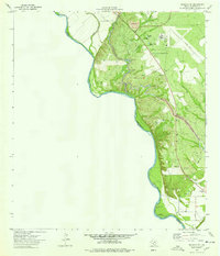
1974 · Quemado SE
USGS Topo · 1:24,000
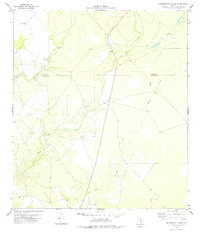
1978 · Tequesquite Spring
USGS Topo · 1:24,000