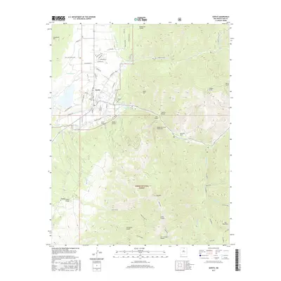
2017 Map of Questa
USGS Topo · Published 2017About this map
The mountain village of Questa serves as the focal point of this study, positioned where the high desert meets the steep ascent of the Sangre de Cristo Mountains. The landscape is defined by its complex irrigation and water management systems, including the Sunshine Canal, Llano Ditch, and Embargo Ditch, which redirect water from sources like the Red River and Cabresto Cr to support the surrounding valley floor. To the south and east, the terrain rises sharply into the Carson National Forest, a vertical wilderness of deep canyons and high summits such as Lobo Peak and Flag Mtn.
Find a feature on this map
66 named features on this map. Tap any name to fly to it.
Don’t see what you’re looking for? This feature index may not catch every label — zoom into the map to look around manually.
Map Details
Editions of this 2017 Questa Map
This is the sole edition of this map. No revisions or reprints were ever made.
Other maps of this area

1954 · Raton
USGS Topo · 1:250,000

1958 · Raton
USGS Topo · 1:250,000

1963 · Wheeler Peak
USGS Topo · 1:24,000

1963 · Arroyo Seco
USGS Topo · 1:24,000

1963 · Arroyo Hondo
USGS Topo · 1:24,000

1963 · Cerro
USGS Topo · 1:24,000

1963 · Sunshine
USGS Topo · 1:24,000

1963 · Questa
USGS Topo · 1:24,000

1963 · Guadalupe Mountain
USGS Topo · 1:24,000

1963 · Latir Peak
USGS Topo · 1:24,000