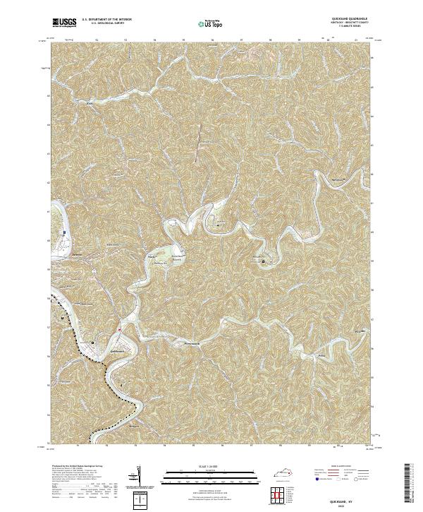
2022 Map of Quicksand
USGS Topo · Published 2022About this map
Quicksand Creek and its South Fork carve a winding path through the dissected plateau of Breathitt County, defining the location of historic timber and coal-era settlements. The community of Quicksand serves as a focal point near the confluence, while smaller hamlets like Noctor, Keck, and Wilstacy are tucked into the narrow hollows and along the ridges. This terrain is characterized by steep slopes and deeply incised valleys, evidenced by named heights such as Pilot Knob and Rainbow Hill.
Find a feature on this map
113 named features on this map. Tap any name to fly to it.
Don’t see what you’re looking for? This feature index may not catch every label — zoom into the map to look around manually.
Map Details
Editions of this 2022 Quicksand Map
This is the sole edition of this map. No revisions or reprints were ever made.
Other maps of this area

1889 · Salyersville
USGS Topo · 1:125,000

1891 · Hazard
USGS Topo · 1:125,000

1891 · Salyersville
USGS Topo · 1:125,000

1899 · Salyersville
USGS Topo · 1:125,000

1913 · Buckhorn
USGS Topo · 1:62,500

1914 · Troublesome
USGS Topo · 1:62,500

1951 · Guage
USGS Topo · 1:24,000

1951 · Landsaw
USGS Topo · 1:24,000

1951 · Seitz
USGS Topo · 1:24,000

1951 · Quicksand
USGS Topo · 1:24,000