
1922 Map of Quien Sabe
USGS Topo · Published 1922About this map
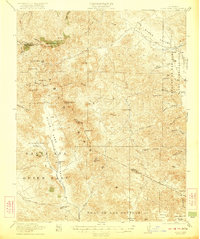
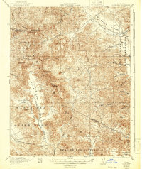
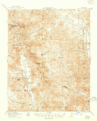
Quien Sabe Rancho and the massive land grant of Real De Las Aguilas dominate this 1922 survey of the Diablo Range. The landscape is defined by its legacy of Spanish and Mexican ranching, centered around the Quien Sabe Valley where the Quien Sabe School and Buena Vista Ranch served a sparse community of cattlemen. The terrain is marked by deep canyons and prominent peaks, including Mariposa Pk and Laveaga Pk, which separate the watersheds of San Luis Creek and the South Fork Los Banos Creek.
Find a feature on this map
54 named features on this map. Tap any name to fly to it.
Don’t see what you’re looking for? This feature index may not catch every label — zoom into the map to look around manually.
Map Details
Editions of this 1922 Quien Sabe Map
4 editions found
Other maps of this area

1913 · Panoche
USGS Topo · 1:125,000

1919 · San Benito
USGS Topo · 1:62,500

1919 · Hollister
USGS Topo · 1:48,000

1920 · Pacheco Pass
USGS Topo · 1:62,500

1920 · Carrisalito Spring
USGS Topo · 1:31,680

1921 · Volta
USGS Topo · 1:31,680

1921 · Gonzales
USGS Topo · 1:62,500

1921 · Gilroy Hot Springs
USGS Topo · 1:62,500

1921 · Hollister
USGS Topo · 1:62,500

1922 · San Luis Creek
USGS Topo · 1:31,680