
1953 Map of Quilcene
USGS Topo · Published 1954About this map
Quilcene and its surrounding waterfront on the Olympic Peninsula appear here during the early 1950s, a period defined by timber, maritime industry, and emerging research. The settlement at East Quilcene sits at the mouth of the Quilcene River, while the Quilcene Boat Haven serves the local fleet on the western shore of Quilcene Bay. Notable infrastructure includes an abandoned RR trestle and a Radio Relay Station on the hills above Dabob Bay.
Find a feature on this map
36 named features on this map. Tap any name to fly to it.
Don’t see what you’re looking for? This feature index may not catch every label — zoom into the map to look around manually.
Map Details
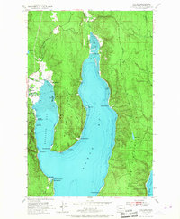
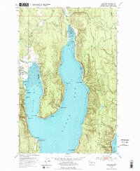
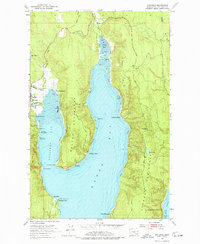
Editions of this 1953 Quilcene Map
4 editions found
Other maps of this area

1936 · Point Misery
USGS Topo · 1:62,500

1937 · Port Orchard
USGS Topo · 1:62,500

1937 · Port Gamble
USGS Topo · 1:62,500

1940 · Port Gamble
USGS Topo · 1:62,500

1940 · Point Misery
USGS Topo · 1:62,500

1940 · Quilcene
USGS Topo · 1:62,500

1953 · Seabeck
USGS Topo · 1:24,000

1953 · Poulsbo
USGS Topo · 1:24,000

1953 · Mt. Walker
USGS Topo · 1:24,000
1953 · Brinnon
USGS Topo · 1:24,000