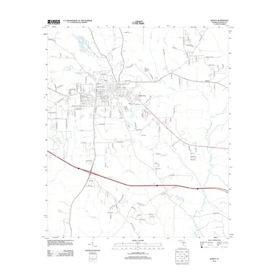
2012 Map of Quincy
USGS Topo · Published 2012About this map
Western Cem and Eastern Cem sit at the core of this Gadsden County landscape, reflecting the long-established burial traditions of the Florida panhandle. The area is defined by a dense network of creek branches, including Quincy Cr, Tanyard Br, and Richlander Cr, which feed toward the Little River on the eastern edge. Settlement patterns are concentrated around the residential corridors of Santa Clara and the outlying community of Littman.
Find a feature on this map
137 named features on this map. Tap any name to fly to it.
Don’t see what you’re looking for? This feature index may not catch every label — zoom into the map to look around manually.
Map Details
Editions of this 2012 Quincy Map
This is the sole edition of this map. No revisions or reprints were ever made.
Other maps of this area

1940 · Tallahassee
USGS Topo · 1:62,500

1942 · Tallahassee
USGS Topo · 1:62,500

1943 · Tallahassee
USGS Topo · 1:62,500

1943 · Lake Talquin
USGS Topo · 1:62,500

1954 · Tallahassee
USGS Topo · 1:250,000

1955 · Mt Pleasant
USGS Topo · 1:24,000

1956 · Havana North
USGS Topo · 1:24,000

1956 · Dogtown
USGS Topo · 1:24,000

1959 · Tallahassee
USGS Topo · 1:250,000

1959 · Gretna
USGS Topo · 1:24,000