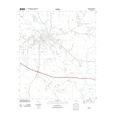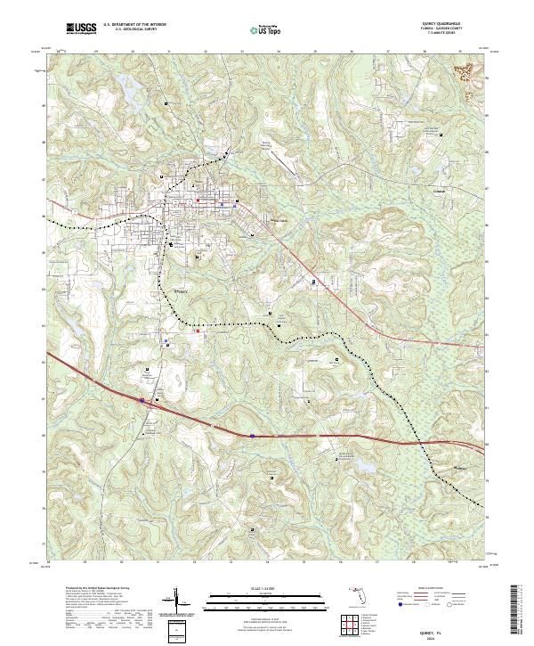
2024 Map of Quincy
USGS Topo · Published 2024About this map
Quincy serves as the hub of this Gadsden County landscape, anchored by the Gadsden County Courthouse at its center. The area is defined by a dense network of family and community burial grounds, reflecting deep genealogical roots in the Florida Panhandle. Significant sites such as the Wynn Plantation Cem, Gilliam Family Cem, and Robinson Lines Cem are scattered across the terrain, while the Saint Matthew Primitive Baptist Church Cem and Mount Pilgrim Primitive Baptist Church Cem mark local spiritual centers.
Find a feature on this map
156 named features on this map. Tap any name to fly to it.
Don’t see what you’re looking for? This feature index may not catch every label — zoom into the map to look around manually.
Map Details
Editions of this 2024 Quincy Map
This is the sole edition of this map. No revisions or reprints were ever made.
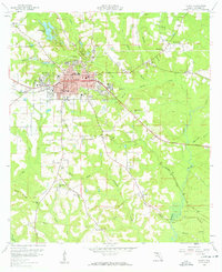
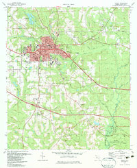
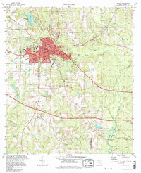
Historical Maps of Quincy Through Time
8 maps found