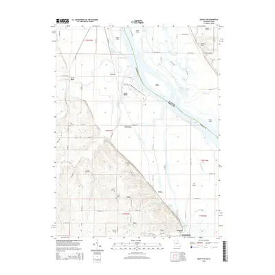
2015 Map of Quincy SW
USGS Topo · Published 2015About this map
The Mississippi River meanders through this portion of Marion County, creating a complex landscape of islands and sloughs. High ground to the southwest transitions into a sprawling floodplain dominated by Goose Island and Bay Island. The northern reach of Hannibal anchors the map, while smaller settlements like Huiskamp, Helton, and Mungers dot the rural interior. This 2015 edition provides a detailed look at the local topography before modern developments altered the drainage patterns of the Fabius River and South River.
Find a feature on this map
89 named features on this map. Tap any name to fly to it.
Don’t see what you’re looking for? This feature index may not catch every label — zoom into the map to look around manually.
Map Details
Editions of this 2015 Quincy SW Map
This is the sole edition of this map. No revisions or reprints were ever made.
Other maps of this area

1903 · Palmyra
USGS Topo · 1:125,000

1925 · Quincy
USGS Topo · 1:62,500

1932 · Hannibal
USGS Topo · 1:62,500

1936 · Hannibal
USGS Topo · 1:48,000

1944 · Quincy
USGS Topo · 1:62,500

1945 · Hannibal
USGS Topo · 1:62,500

1945 · Quincy
USGS Topo · 1:62,500

1948 · Quincy
USGS Topo · 1:250,000

1949 · Maywood
USGS Topo · 1:24,000

1949 · Palmyra
USGS Topo · 1:24,000