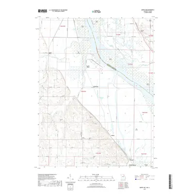
2017 Map of Quincy SW
USGS Topo · Published 2017About this map
The Mississippi River corridor north of Hannibal is defined by a complex network of backwaters and islands, including Fabius Island and Bay Island. This 2017 survey details the low-lying floodplain where Rock Ridge Slough and Walkers Slough weave through the bottomlands. Small settlements such as Huiskamp and Helton sit along the western bluffs, overlooking the river valley where the border between Adams County, Illinois and Marion County, Missouri follows the winding main channel.
Find a feature on this map
88 named features on this map. Tap any name to fly to it.
Don’t see what you’re looking for? This feature index may not catch every label — zoom into the map to look around manually.
Map Details
Editions of this 2017 Quincy SW Map
This is the sole edition of this map. No revisions or reprints were ever made.
Other maps of this area

1903 · Palmyra
USGS Topo · 1:125,000

1925 · Quincy
USGS Topo · 1:62,500

1932 · Hannibal
USGS Topo · 1:62,500

1936 · Hannibal
USGS Topo · 1:48,000

1944 · Quincy
USGS Topo · 1:62,500

1945 · Hannibal
USGS Topo · 1:62,500

1945 · Quincy
USGS Topo · 1:62,500

1948 · Quincy
USGS Topo · 1:250,000

1949 · Maywood
USGS Topo · 1:24,000

1949 · Palmyra
USGS Topo · 1:24,000