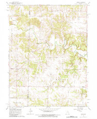
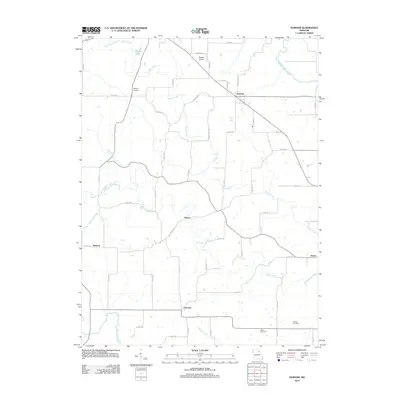
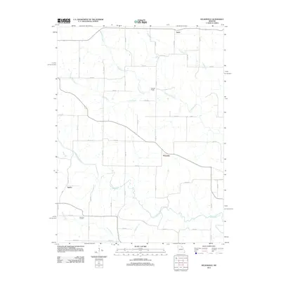
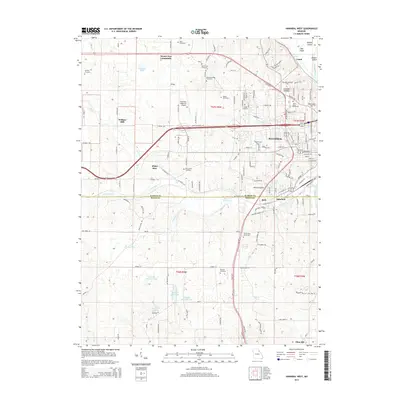
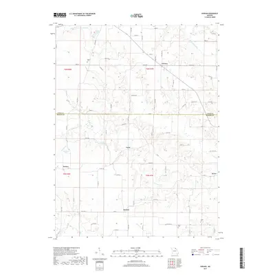
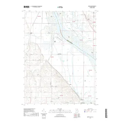
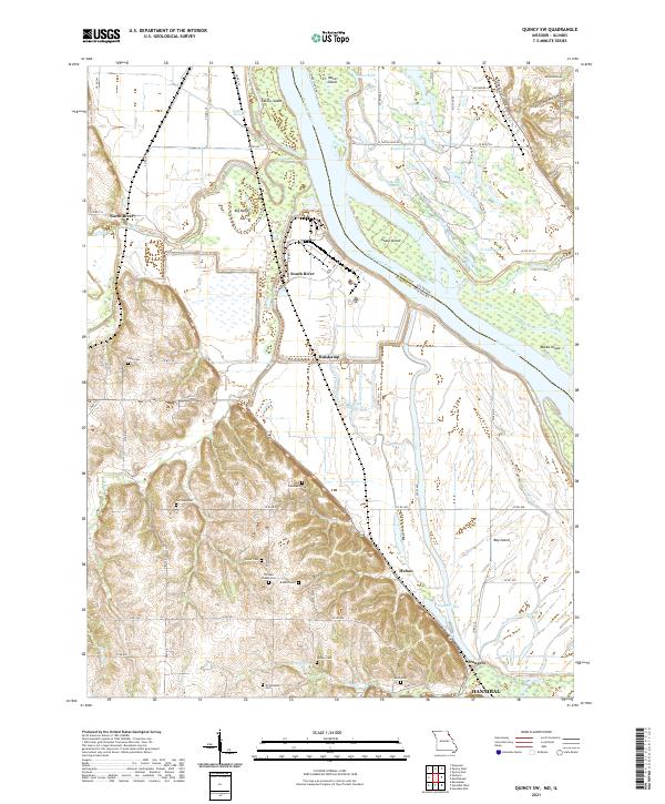
1971 Map of Quincy SW
USGS Topo · Published 1973About this map
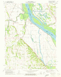
The Mississippi River dominates the eastern boundary of this Marion County riverfront, defining a landscape of active levees and shifting waterways. Near the river, intricate water features such as Bay De Charles, Heather Bay, and Ward Island Chute indicate the complex hydrology of the floodplains. To the west, the land rises into more stable terrain where agriculture and community life were centered during the early 1970s. This upland area is dotted with family-named landmarks and cemeteries, including Pennewell Cem, Gottman Cem, and Thrasher Chapel. Significant archaeological markers like the Indian Mound near South River and several Indian Mounds further south provide a look at the deep history of this river valley. The corridor of the Burlington Northern railroad runs parallel to the river, linking small points like Huiskamp and Helton to the broader regional economy.
Find a feature on this map
52 named features on this map. Tap any name to fly to it.
Don’t see what you’re looking for? This feature index may not catch every label — zoom into the map to look around manually.
Map Details
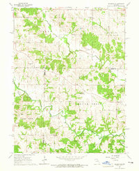
Editions of this 1971 Quincy SW Map
This is the sole edition of this map. No revisions or reprints were ever made.
Historical Maps of Hannibal Through Time
33 maps found
1949 Durham
Marion County, MO

1949 Maywood
Marion County, MO
1950 Durham
Marion County, MO
1950 Maywood
Marion County, MO
1964 Emden
Marion County, MO
1964 Nelsonville
Marion County, MO
1971 Hannibal West
Marion County, MO
1971 Quincy SW
Marion County, MO
1996 Quincy SW
Marion County, MO
2012 Durham
Marion County, MO
2012 Emden
Marion County, MO
2012 Hannibal West
Marion County, MO
2012 Maywood
Marion County, MO
2012 Nelsonville
Marion County, MO
2012 Quincy SW
Marion County, MO
2014 Durham
Marion County, MO
2014 Emden
Marion County, MO
2014 Hannibal West
Marion County, MO
2014 Nelsonville
Marion County, MO
2015 Maywood
Marion County, MO
2015 Quincy SW
Marion County, MO
2017 Durham
Marion County, MO
2017 Emden
Marion County, MO
2017 Hannibal West
Marion County, MO
2017 Maywood
Marion County, MO
2017 Nelsonville
Marion County, MO
2017 Quincy SW
Marion County, MO
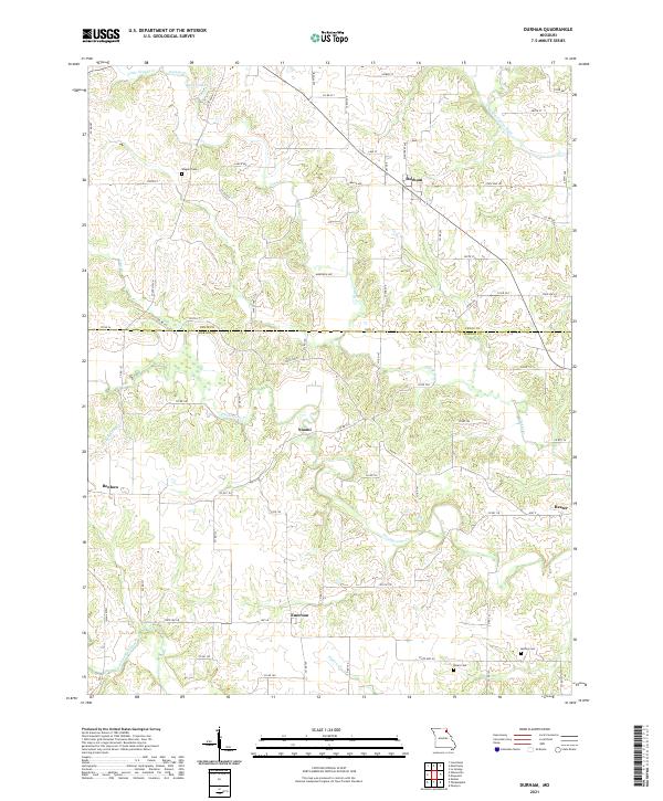
2021 Durham
Marion County, MO
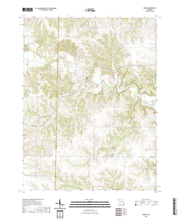
2021 Emden
Marion County, MO
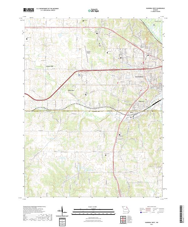
2021 Hannibal West
Marion County, MO
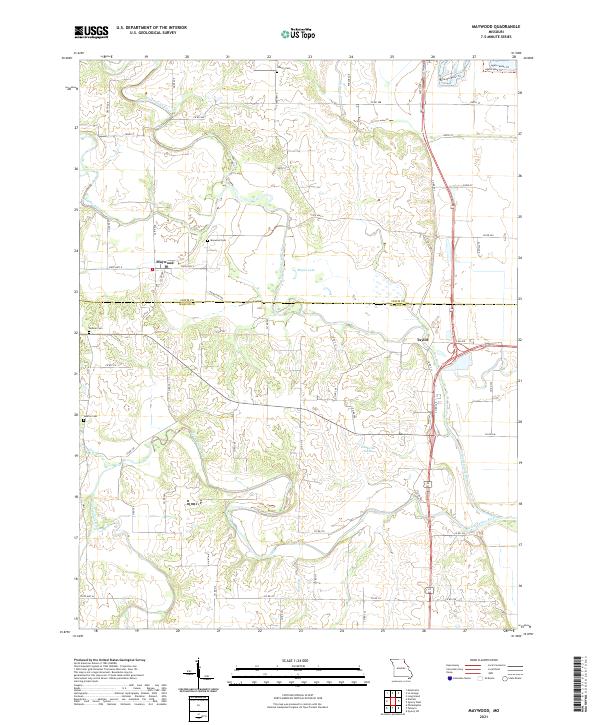
2021 Maywood
Marion County, MO
2021 Nelsonville
Marion County, MO
2021 Quincy SW
Marion County, MO