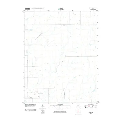
2009 Map of Quincy
USGS Topo · Published 2009About this map
Quincy serves as the primary settlement hub in this rural Greenwood County landscape, where the local community is anchored by the Quincy Cemetery located just to the east. The terrain is defined by a dense network of seasonal watercourses, including Dry Creek, Turkey Creek, and Brazil Creek, which dictate the winding paths of rural township roads. A notable industrial presence is the Blackwell Oil Field in the northwest, cutting a diagonal path across the grid of section lines and gravel routes like Bobcat Rd. This alignment of natural drainage and petroleum extraction reveals the dual reliance on agricultural land and mineral resources that shaped the region's development during the early 21st century. The map provides a clear view of the transition from the concentrated village life in Quincy to the sprawling oil infrastructure and creek-fed pastures of the surrounding Kansas plains.
Find a feature on this map
27 named features on this map. Tap any name to fly to it.
Don’t see what you’re looking for? This feature index may not catch every label — zoom into the map to look around manually.
Map Details
Editions of this 2009 Quincy Map
This is the sole edition of this map. No revisions or reprints were ever made.
Other maps of this area

1885 · Burlington
USGS Topo · 1:125,000

1885 · Eureka
USGS Topo · 1:125,000

1886 · Fredonia
USGS Topo · 1:125,000

1888 · Emporia
USGS Topo · 1:125,000

1888 · Eureka
USGS Topo · 1:125,000

1894 · Emporia
USGS Topo · 1:125,000

1894 · Fredonia
USGS Topo · 1:125,000

1894 · Burlington
USGS Topo · 1:125,000

1894 · Eureka
USGS Topo · 1:125,000

1947 · Lawrence
USGS Topo · 1:250,000