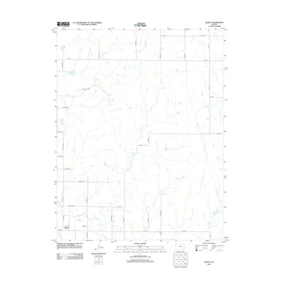
2012 Map of Quincy
USGS Topo · Published 2012About this map
Quincy stands at the intersection of Co Rd-12 and Co Rd-3A in this 2012 survey, serving as the primary hub for a rural Greenwood County landscape defined by a complex network of waterways. The Verdigris River cuts across the southwestern corner, while the surrounding acreage is drained by a series of prominent creeks including Brazil Cr and Dry Cr. This area represents the classic high plains prairie economy, where township roads follow a rigid section-line grid to service agricultural tracts and energy extraction sites like the Blackwell Oil Field to the northwest.
Find a feature on this map
37 named features on this map. Tap any name to fly to it.
Don’t see what you’re looking for? This feature index may not catch every label — zoom into the map to look around manually.
Map Details
Editions of this 2012 Quincy Map
This is the sole edition of this map. No revisions or reprints were ever made.
Other maps of this area

1885 · Burlington
USGS Topo · 1:125,000

1885 · Eureka
USGS Topo · 1:125,000

1886 · Fredonia
USGS Topo · 1:125,000

1888 · Emporia
USGS Topo · 1:125,000

1888 · Eureka
USGS Topo · 1:125,000

1894 · Emporia
USGS Topo · 1:125,000

1894 · Fredonia
USGS Topo · 1:125,000

1894 · Burlington
USGS Topo · 1:125,000

1894 · Eureka
USGS Topo · 1:125,000

1947 · Lawrence
USGS Topo · 1:250,000