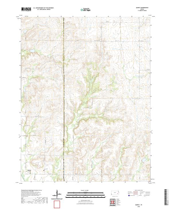
2022 Map of Quincy
USGS Topo · Published 2022About this map
Quincy serves as the primary settlement center on this landscape where the Greenwood Co Woodson Co line divides the terrain. The community is situated along the southern edge of the quadrangle, notably near the Quincy Cem and the banks of Dry Cr. The area is defined by its complex drainage network, where multiple creeks including Turkey Cr, Owl Cr, and Brazil Cr carve through the plains toward the Verdigris River. A dense grid of rural township roads, such as Antelope Rd and Beaver Rd, connects isolated farmsteads and agricultural plots across the township and range boundaries. This network reveals a persistent 19th-century land division system still in active use during this modern survey, providing a clear record of property access and rural development in eastern Kansas.
Find a feature on this map
43 named features on this map. Tap any name to fly to it.
Don’t see what you’re looking for? This feature index may not catch every label — zoom into the map to look around manually.
Map Details
Editions of this 2022 Quincy Map
This is the sole edition of this map. No revisions or reprints were ever made.
Other maps of this area

1885 · Burlington
USGS Topo · 1:125,000

1885 · Eureka
USGS Topo · 1:125,000

1886 · Fredonia
USGS Topo · 1:125,000

1888 · Emporia
USGS Topo · 1:125,000

1888 · Eureka
USGS Topo · 1:125,000

1894 · Emporia
USGS Topo · 1:125,000

1894 · Fredonia
USGS Topo · 1:125,000

1894 · Burlington
USGS Topo · 1:125,000

1894 · Eureka
USGS Topo · 1:125,000

1947 · Lawrence
USGS Topo · 1:250,000