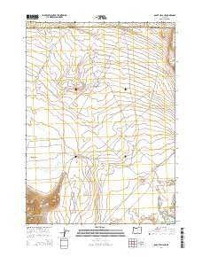
2014 Map of Rabbit Hills NE
USGS Topo · Published 2014About this map
Rabbit Hills and Dudeck Ridge dominate this high desert landscape along the border of Harney and Lake counties. The map captures a topography defined by seasonal hydrology and expansive basins, where water features like the Corral Waterhole and Canterbury Reservoir are critical landmarks in an otherwise arid environment. The presence of Sunstone and the transition into the Warner Valley suggest a region shaped by both its geological resources and its traditional rangeland use. Drainage patterns are traced through Rabbit Cr as it winds toward Rabbit Basin, while Sherlock Gulch cuts through the western slopes. These features illustrate the isolated character of the Oregon outback, where named landmarks often center on life-sustaining water sources or significant elevation changes.
Find a feature on this map
22 named features on this map. Tap any name to fly to it.
Don’t see what you’re looking for? This feature index may not catch every label — zoom into the map to look around manually.
Map Details
Editions of this 2014 Rabbit Hills NE Map
This is the sole edition of this map. No revisions or reprints were ever made.
Other maps of this area

1955 · Adel
USGS Topo · 1:250,000

1957 · Adel
USGS Topo · 1:250,000

1958 · Adel
USGS Topo · 1:250,000

1962 · Adel
USGS Topo · 1:250,000

1966 · Rabbit Hills NE
USGS Topo · 1:24,000

1966 · Rabbit Hills NW
USGS Topo · 1:24,000

1967 · Flagstaff Lake
USGS Topo · 1:24,000

1967 · Rabbit Hills SW
USGS Topo · 1:24,000

1967 · Campbell Lake
USGS Topo · 1:24,000

1967 · Bluejoint Lake West
USGS Topo · 1:24,000