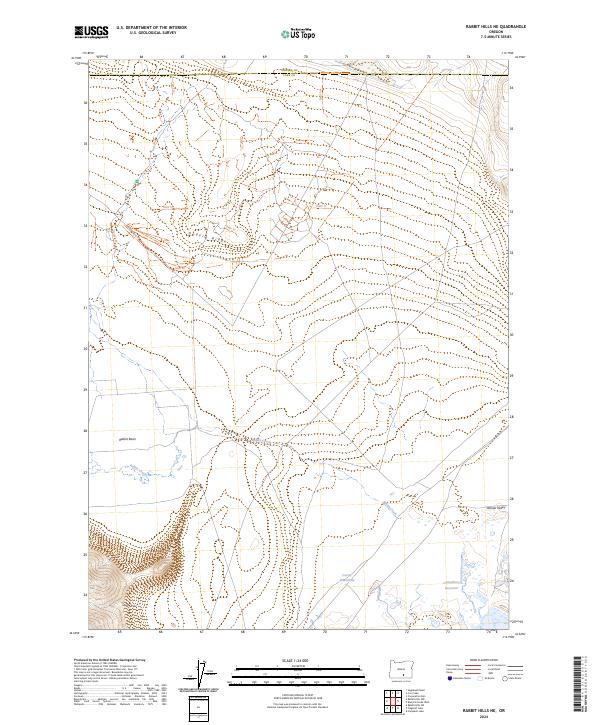
2024 Map of Rabbit Hills NE
USGS Topo · Published 2024About this map
Rabbit Hills and Dudeck Ridge dominate this high-desert landscape in the remote borderlands where Lake and Harney Counties meet. The terrain is defined by wide basins and volcanic ridges, with Rabbit Basin stretching across the western sections. Water is a critical and sparse resource here, concentrated at sites like Corral Waterhole and the Canterbury Reservoir on the edge of the Warner Valley. The map reveals a network of temporary tracks, including TEMP Trl, navigating the elevation changes between the hills and the drainage of Rabbit Creek. This modern survey records the land as a working landscape of the American West, where topographic features dictate the movement of both water and traveler through the sagebrush-rich basins.
Find a feature on this map
15 named features on this map. Tap any name to fly to it.
Don’t see what you’re looking for? This feature index may not catch every label — zoom into the map to look around manually.
Map Details
Editions of this 2024 Rabbit Hills NE Map
This is the sole edition of this map. No revisions or reprints were ever made.
Other maps of this area

1955 · Adel
USGS Topo · 1:250,000

1957 · Adel
USGS Topo · 1:250,000

1958 · Adel
USGS Topo · 1:250,000

1962 · Adel
USGS Topo · 1:250,000

1966 · Rabbit Hills NE
USGS Topo · 1:24,000

1966 · Rabbit Hills NW
USGS Topo · 1:24,000

1967 · Flagstaff Lake
USGS Topo · 1:24,000

1967 · Rabbit Hills SW
USGS Topo · 1:24,000

1967 · Campbell Lake
USGS Topo · 1:24,000

1967 · Bluejoint Lake West
USGS Topo · 1:24,000