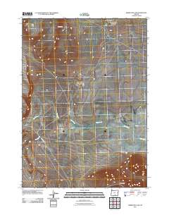
2011 Map of Rabbit Hills NW
USGS Topo · Published 2011About this map
Flint Hills and the corresponding Flint Ridge dominate the northern terrain of this high desert landscape in Harney County. This 2011 survey captures a remote region defined by ephemeral drainage patterns and historical thoroughfares, most notably Hogback Rd, which cuts across the southern portion of the quadrangle. The hydrography is characterized by seasonal flows such as Rabbit Creek, which feeds into the Rabbit Basin, and Foley Creek to the west. Small topographic variations like Mary Ann Draw and Sherlock Gulch provide specific landmarks for those studying the localized geography. The presence of the Rabbit Hills in the southeast corner marks the transition into a different basin structure, illustrating the complex alluvial and volcanic geology typical of this part of the Oregon interior.
Find a feature on this map
9 named features on this map. Tap any name to fly to it.
Don’t see what you’re looking for? This feature index may not catch every label — zoom into the map to look around manually.
Map Details
Editions of this 2011 Rabbit Hills NW Map
This is the sole edition of this map. No revisions or reprints were ever made.
Other maps of this area

1955 · Klamath Falls
USGS Topo · 1:250,000

1955 · Adel
USGS Topo · 1:250,000

1957 · Adel
USGS Topo · 1:250,000

1958 · Klamath Falls
USGS Topo · 1:250,000

1958 · Adel
USGS Topo · 1:250,000

1962 · Adel
USGS Topo · 1:250,000

1966 · Rabbit Hills NE
USGS Topo · 1:24,000

1966 · Rabbit Hills NW
USGS Topo · 1:24,000

1967 · Flagstaff Lake
USGS Topo · 1:24,000

1967 · Rabbit Hills SW
USGS Topo · 1:24,000