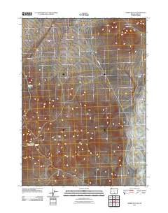
2011 Map of Rabbit Hills SW
USGS Topo · Published 2011About this map
Coyote Hills and the southern slopes of the Rabbit Hills define this high-desert reach of Lake County. The landscape is marked by a network of drainage features and seasonal water sources essential to the region's historical ranching and mining operations. Hogback Rd serves as the primary artery through this arid terrain, connecting isolated landmarks such as Miners Draw Waterhole and the nearby Mine Draw Spring.
Find a feature on this map
8 named features on this map. Tap any name to fly to it.
Don’t see what you’re looking for? This feature index may not catch every label — zoom into the map to look around manually.
Map Details
Editions of this 2011 Rabbit Hills SW Map
This is the sole edition of this map. No revisions or reprints were ever made.
Other maps of this area

1955 · Klamath Falls
USGS Topo · 1:250,000

1955 · Adel
USGS Topo · 1:250,000

1957 · Adel
USGS Topo · 1:250,000

1958 · Klamath Falls
USGS Topo · 1:250,000

1958 · Adel
USGS Topo · 1:250,000

1962 · Adel
USGS Topo · 1:250,000

1966 · Rabbit Hills NE
USGS Topo · 1:24,000

1966 · Rabbit Hills NW
USGS Topo · 1:24,000

1967 · Flagstaff Lake
USGS Topo · 1:24,000

1967 · Plush
USGS Topo · 1:24,000