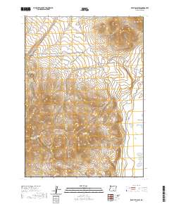
2020 Map of Rabbit Hills SW
USGS Topo · Published 2020About this map
The high desert terrain of Rabbit Hills and the Coyote Hills dominates this Lake County landscape, where water security is defined by scattered drainage points and small catchments. Critical water sources for livestock or travelers are documented at the Miners Draw Waterhole, Mine Draw Spring, and Big Rock Reservoir, reflecting the essential infrastructure of this arid region. The network of seasonal drainages, including Mary Ann Draw, Cooper Draw, and Miners Draw, illustrates the complex topography that channels runoff toward the Warner Valley to the east. Transportation through this remote section of Oregon is maintained by local connectors such as Co HWY 3-10 and Co HWY 3-11, which navigate the gaps between the prominent draws and hills. This map captures the intersection of natural drainage systems and human-managed water points at the start of the 2020s.
Find a feature on this map
16 named features on this map. Tap any name to fly to it.
Don’t see what you’re looking for? This feature index may not catch every label — zoom into the map to look around manually.
Map Details
Editions of this 2020 Rabbit Hills SW Map
This is the sole edition of this map. No revisions or reprints were ever made.
Other maps of this area

1955 · Klamath Falls
USGS Topo · 1:250,000

1955 · Adel
USGS Topo · 1:250,000

1957 · Adel
USGS Topo · 1:250,000

1958 · Klamath Falls
USGS Topo · 1:250,000

1958 · Adel
USGS Topo · 1:250,000

1962 · Adel
USGS Topo · 1:250,000

1966 · Rabbit Hills NE
USGS Topo · 1:24,000

1966 · Rabbit Hills NW
USGS Topo · 1:24,000

1967 · Flagstaff Lake
USGS Topo · 1:24,000

1967 · Plush
USGS Topo · 1:24,000