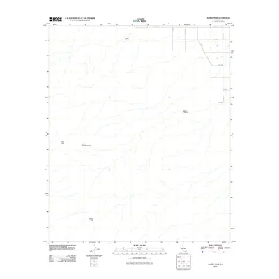
2012 Map of Rabbit Peak
USGS Topo · Published 2012About this map
The Santa Rosa Mountains dominate this landscape in eastern San Diego County, where extreme elevation changes define the terrain. High points like Rabbit Peak and Villager Peak tower over the surrounding desert environment, separated by deep drainages such as Sheep Canyon and Barton Canyon. While the majority of the area remains undeveloped mountain wilderness, the northeast corner reveals the encroaching agricultural and residential grid of the Coachella Valley outskirts. This transition is marked by a sudden network of named thoroughfares including Fillmore St, Tyler St, and Polk St. The contrast between the rigid, surveyed lines of 76th Ave and the chaotic natural contours of the peaks illustrates the sharp boundary between desert cultivation and the protected mountain reaches of the Anza-Borrego region.
Find a feature on this map
16 named features on this map. Tap any name to fly to it.
Don’t see what you’re looking for? This feature index may not catch every label — zoom into the map to look around manually.
Map Details
Editions of this 2012 Rabbit Peak Map
This is the sole edition of this map. No revisions or reprints were ever made.
Other maps of this area

1904 · Indio
USGS Topo · 1:125,000

1931 · Vallecito
USGS Topo · 1:125,000

1941 · Toro Peak
USGS Topo · 1:62,500

1941 · Clark Lake
USGS Topo · 1:62,500

1941 · Coachella
USGS Topo · 1:62,500

1942 · Agua Dulce
USGS Topo · 1:62,500

1942 · Clark Lake
USGS Topo · 1:62,500

1943 · Vallecito
USGS Topo · 1:125,000

1943 · Coachella
USGS Topo · 1:62,500

1944 · Agua Dulce
USGS Topo · 1:62,500