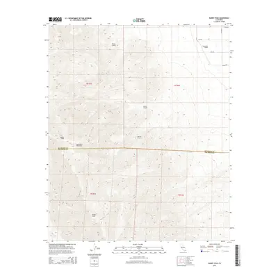
2015 Map of Rabbit Peak
USGS Topo · Published 2015About this map
Rabbit Peak and Villager Peak dominate this high-desert landscape within the Santa Rosa Mountains, straddling the border of Riverside and San Diego counties. The terrain is defined by dramatic elevation changes, where deep incisions like Sheep Canyon, Alamo Canyon, and Barton Canyon drain the high peaks toward the northeast.
Find a feature on this map
18 named features on this map. Tap any name to fly to it.
Don’t see what you’re looking for? This feature index may not catch every label — zoom into the map to look around manually.
Map Details
Editions of this 2015 Rabbit Peak Map
This is the sole edition of this map. No revisions or reprints were ever made.
Other maps of this area

1904 · Indio
USGS Topo · 1:125,000

1931 · Vallecito
USGS Topo · 1:125,000

1941 · Toro Peak
USGS Topo · 1:62,500

1941 · Clark Lake
USGS Topo · 1:62,500

1941 · Coachella
USGS Topo · 1:62,500

1942 · Agua Dulce
USGS Topo · 1:62,500

1942 · Clark Lake
USGS Topo · 1:62,500

1943 · Vallecito
USGS Topo · 1:125,000

1943 · Coachella
USGS Topo · 1:62,500

1944 · Agua Dulce
USGS Topo · 1:62,500