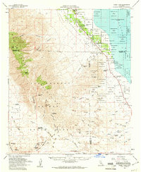
1959 Map of Rabbit Peak
USGS Topo · Published 1961About this map
The Santa Rosa Mountains dominate this 1959 landscape, where high summits like Rabbit Peak and Villager Peak overlook the deep basin of the Coachella Valley. To the east, the shoreline of the Salton Sea meets the grid of the Torres Martinez Indian Reservation, where intensive desert irrigation is visible through numerous artesian wells and the Anza Ditch. The transition from the agricultural efforts around Oasis to the arid expanse of Anza-Borrego Desert State Park reveals a land of extremes, defined by water scarcity and complex drainage patterns like Arroyo Salada and Wonderstone Wash.
Find a feature on this map
57 named features on this map. Tap any name to fly to it.
Don’t see what you’re looking for? This feature index may not catch every label — zoom into the map to look around manually.
Map Details
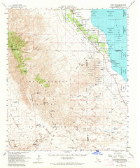
Editions of this 1959 Rabbit Peak Map
2 editions found
Other maps of this area

1904 · Indio
USGS Topo · 1:125,000

1931 · Vallecito
USGS Topo · 1:125,000

1939 · Borrego
USGS Topo · 1:62,500

1940 · Kane Spring
USGS Topo · 1:62,500

1940 · Cottonwood Spring
USGS Topo · 1:62,500

1940 · Durmid
USGS Topo · 1:62,500

1941 · Toro Peak
USGS Topo · 1:62,500

1941 · Clark Lake
USGS Topo · 1:62,500

1941 · Coachella
USGS Topo · 1:62,500

1942 · Barrel Spring
USGS Topo · 1:62,500