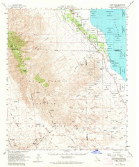
1959 Map of Rabbit Peak
USGS Topo · Published 1964About this map
The Coachella Valley floor meets the dramatic uplift of the Santa Rosa Mountains in this late 1950s survey. Much of the northern terrain is occupied by the Torres Martinez Indian Reservation, where a network of Artesian Wells and gaging stations supported early desert agriculture near Oasis. To the south, the landscape shifts into the protected expanse of Anza-Borrego Desert State Park, characterized by the erosion-carved Borrego Badlands and landmarks like Fonts Point and Inspiration Point.
Find a feature on this map
52 named features on this map. Tap any name to fly to it.
Don’t see what you’re looking for? This feature index may not catch every label — zoom into the map to look around manually.
Map Details
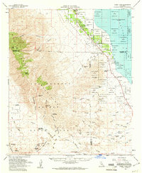
Editions of this 1959 Rabbit Peak Map
2 editions found
Other maps of this area

1904 · Indio
USGS Topo · 1:125,000

1931 · Vallecito
USGS Topo · 1:125,000

1939 · Borrego
USGS Topo · 1:62,500

1940 · Kane Spring
USGS Topo · 1:62,500

1940 · Cottonwood Spring
USGS Topo · 1:62,500

1940 · Durmid
USGS Topo · 1:62,500

1941 · Toro Peak
USGS Topo · 1:62,500

1941 · Clark Lake
USGS Topo · 1:62,500

1941 · Coachella
USGS Topo · 1:62,500

1942 · Barrel Spring
USGS Topo · 1:62,500