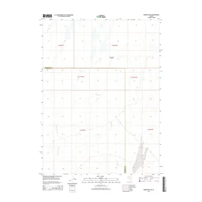
2014 Map of Rabbithole NE
USGS Topo · Published 2014About this map
The Black Rock Desert defines the northern reaches of this landscape, a stark landscape where the Quinn River terminates in an ephemeral basin. In this corner of northwestern Nevada, the boundary between Humboldt and Pershing counties divides a terrain shaped by dry washes and seasonal drainage. The hydrology is dominated by Granite Springs Wash in the west and Rabbithole Cr to the east, both tracing ephemeral paths through the high desert. This survey provides a precise look at the township and range system during the early 21st century, showing how modern geopolitical lines intersect with the ancient alluvial features of the Great Basin.
Find a feature on this map
12 named features on this map. Tap any name to fly to it.
Don’t see what you’re looking for? This feature index may not catch every label — zoom into the map to look around manually.
Map Details
Editions of this 2014 Rabbithole NE Map
This is the sole edition of this map. No revisions or reprints were ever made.
Other maps of this area

1886 · Disaster
USGS Topo · 1:250,000

1893 · Disaster
USGS Topo · 1:250,000

1931 · Lovelock
USGS Topo · 1:250,000

1935 · Lovelock
USGS Topo · 1:250,000

1954 · Vya
USGS Topo · 1:250,000

1955 · Lovelock
USGS Topo · 1:250,000

1958 · Vya
USGS Topo · 1:250,000

1959 · Lovelock
USGS Topo · 1:250,000

1962 · Vya
USGS Topo · 1:250,000

1966 · King Lear Peak
USGS Topo · 1:62,500